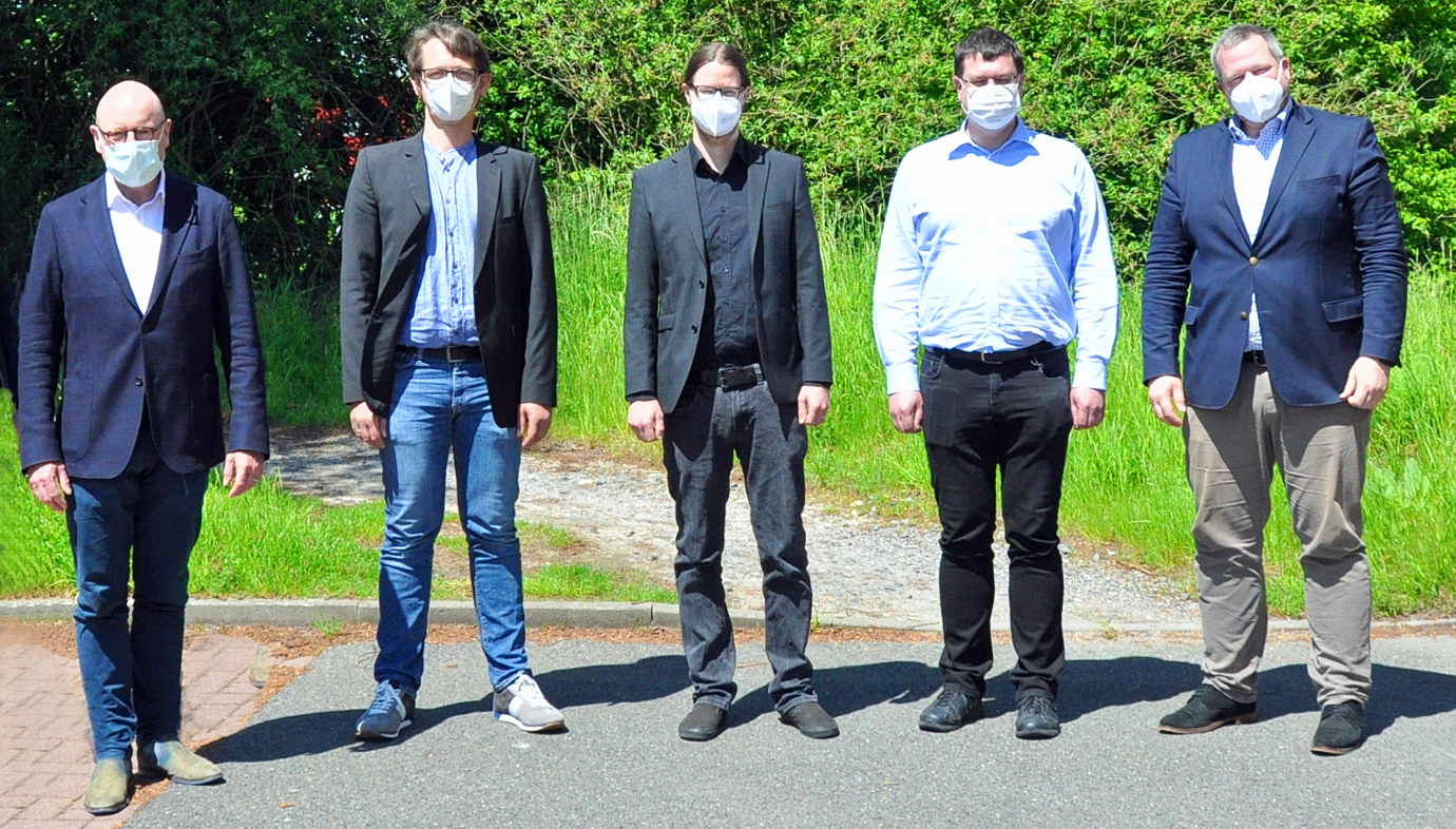
The KI:STE Project recently held it’s first annual meeting in Cologne. The consortium met to present and discuss first results as well as brainstorm for the project’s second year agenda.
The KI:STE Project recently held it’s first annual meeting in Cologne. The consortium met to present and discuss first results as well as brainstorm for the project’s second year agenda.
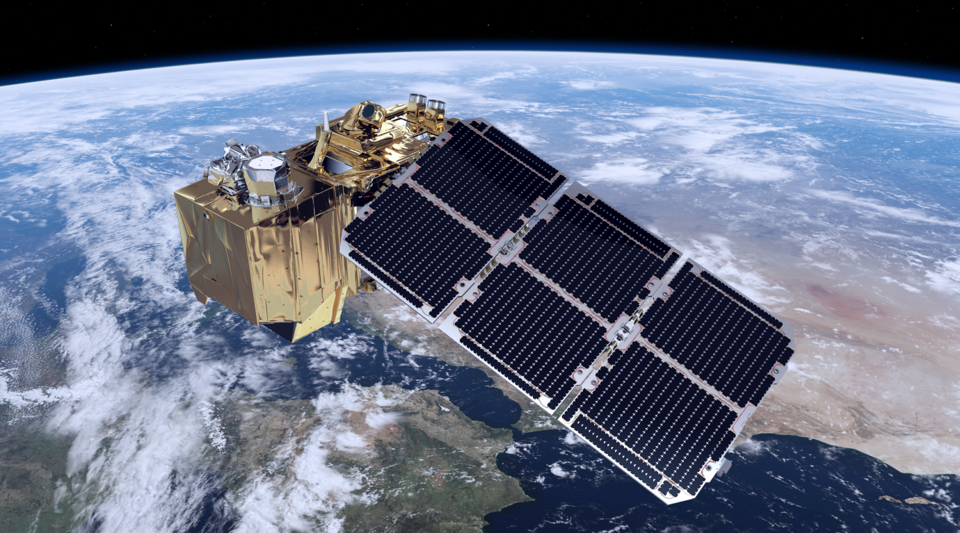
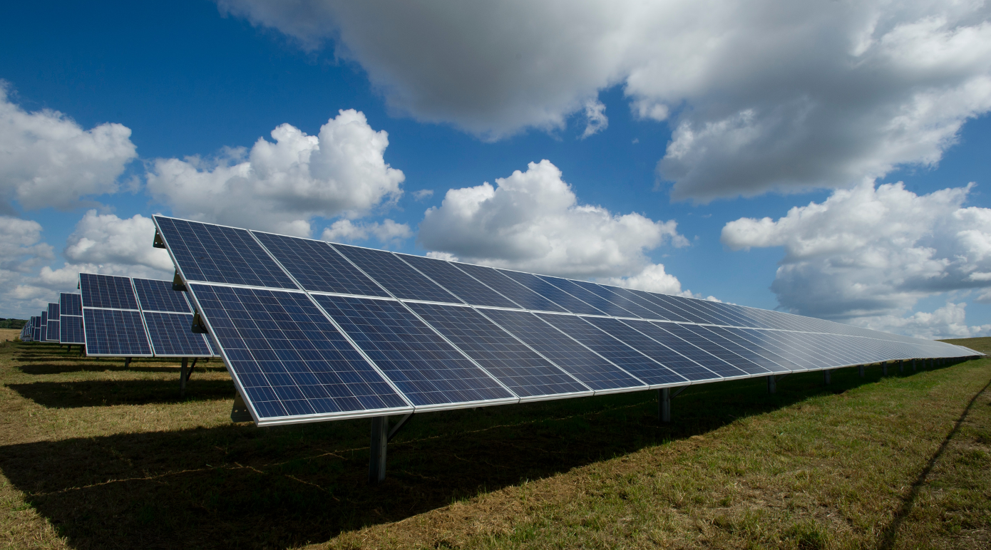
The GeoIT Round Table NRW brings together administration, industry and science to advance the development of geoinformation availability and usability in North-Rhine-Westfalia. It is a think tank for elaborating and consulting strategies and concepts for action, as well as initiating and accompanying the development of best practices. The GeoIT Round Table is one of the German Copernicus Relays – a network of Copernicus ambassadors – acting as local champions, coordinating and promoting activities around the Copernicus Program, its benefits, and opportunities for local residents and businesses. The steering committee recently invited members to a Copernicus Relay workshop.
Saving the climate: Geoinformatics specialist from Münster as part of a “Global Solution”
It sounds simple, but the technical implementation is extremely complex: “The combination of vehicle, traffic and environmental data allows us to identify focal points contaminated with pollutants and safety-critical points in metropolitan areas. As a result, we can successfully optimize traffic flows.” This vivid research project was just one of numerous projects with which 52°North GmbH impressed the mayor of Münster, Markus Lewe, enormously. “Climate change cannot be resolved in Münster alone. But Münster can become part of a global solution thanks to the scientific expertise available here and its companies”, the mayor, accompanied by Enno Fuchs, the managing director of the Münster Economic Development Corporation, paid the geoinformatics scientists great respect.