


News
The DIRECTED Project’s Data Fabric Tutorial Series
Connecting data silos and integrating models
more >
KomMonitor Community Tag 2026
Join us and actively shape the ongoing development of KomMonitor
more >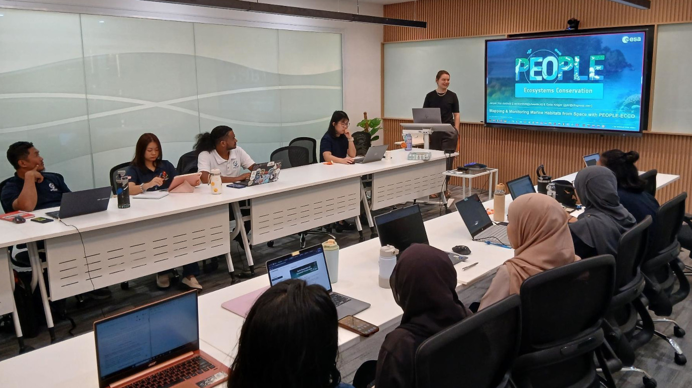
Hands-on Workshop for Biodiversity Monitoring in Malaysia
52°North presents PEOPLE-ECCO’s web-based user interface
more >
Future Horizons: Advancing EDIS through Strategic Data Integration
Enhancing EDIS for reliable near-realtime data delivery and AI applications
more >
Dr. Benedikt Gräler elected EUROGI Vice President
Deepening strategic partnerships and advancing European geospatial innovation
more >Blog
- 52°North – 20 Years of Exploring Horizons

20 years of advancing spatial information research through open innovation
- Building an MCP Bridge for OGC APIs with 52°North

Helping people use OGC APIs
- QGIS Plugin for the Weather Routing Tool (GSoC2026)
")
Implementing config wizard for WRT and route visualization in QGIS
- ENFORCE Data Space Compliance Platform

Citizen science and environmental policy enforcement through interoperable data infrastructure
- 52°North Fire Safety Squad recertified!

Ready to fight fires
Annual Report
Events
Affilations


