Providing Comprehensive Analysis of Service Areas for Automated Driving Systems
Creating a scalable toolbox to support Volkswagen Commercial Vehicles in the provision of data for their Mobility as a Service applications
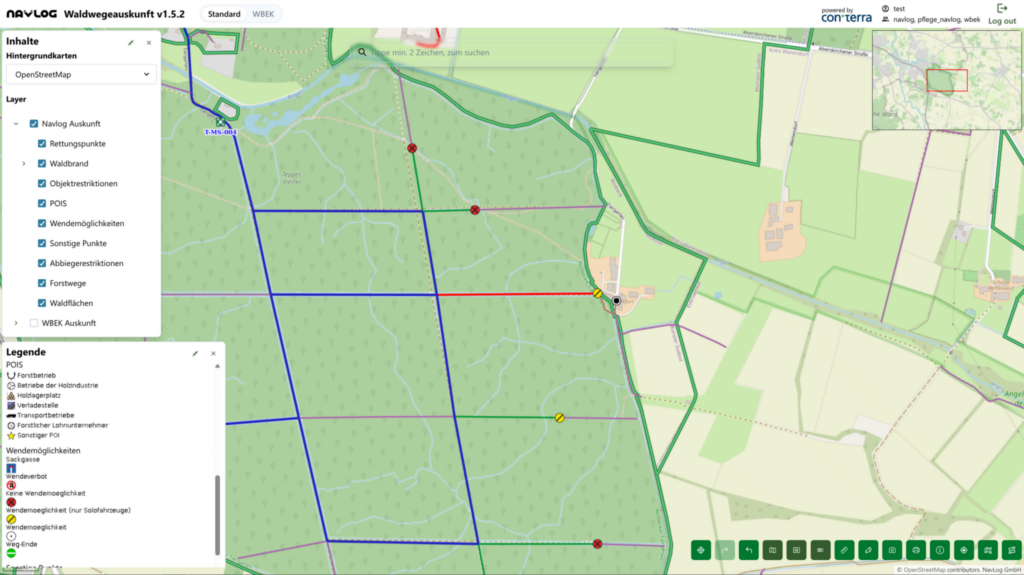
Volkswagen ADMT GmbH targets the operation of Automated Driving Systems (ADS). In order to provide operate safely, the Operation Design Domain (ODD) must be specified for a given service area. 52°North worked on the development of a Geonet Toolchain (GNT), consisting of a Python application and additional components, such as simple web services and a human-machine interface (HMI) for data visualization. This resulted in the GNT version 1.0. The goal of this project is to incorporate a variety of new features that will provide comprehensive analysis of service areas regarding the operation of an ADS. In addition, the GNT will evolve from a script-based approach to a sophisticated, cloud-based service architecture that multiple end users can access simultaneously. Achieving version 2.0 of the GNT will require work on various new features, such as fusion of data sources, mapping/interpretation of point, line and shape-based features, and HMI improvements, as well as migration to a cloud-based service architecture.
In 2025, 52°North successfully transferred the GNT to a cloud-based environment, which greatly expanded the internal customer base. Our team also extended the toolchain with new features, including the calculation of pickup and drop-off zones (PUDO) based on regulatory and operational criteria, integration of new data sources, such as HERE and HiveMapper, ODD inference based on user-defined rulesets, and various additional integrations and improvements.

Customer
Volkswagen Commercial Vehicles ADMT, Germany


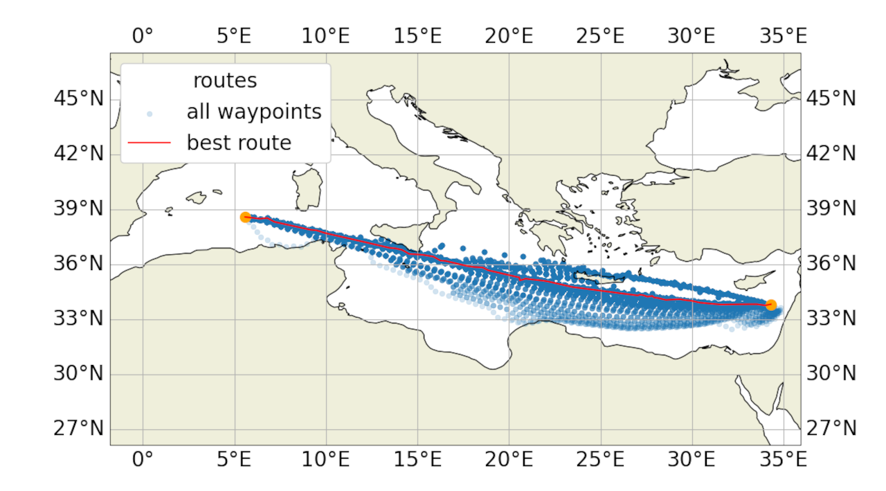
 Integrated Digital TWIN Framework to Enable Green SHIP Operations Towards Zero Emission Vessels