 Integrated Digital TWIN Framework to Enable Green SHIP Operations Towards Zero Emission Vessels
TwinShip’s open-source platform will provide a user-friendly, sophisticated toolset utilizing a Digital Twin-based Decision Support System, data exploration, and AI to achieve an efficient, sustainable ship sector transformation.
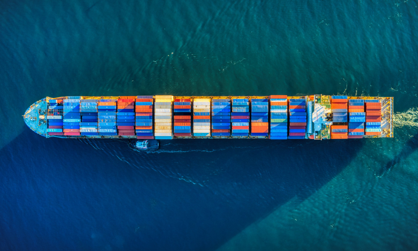
The main objective of the Horizon Europe project TwinShip is to pave the way for reducing green house gas (GHG) emissions in the shipping industry. To do so, the consortium plans to enhance an open-source digital platform for data exploration and machine learning tools.
With the help of this platform, the TwinShip project will
- demonstrate the capabilities of voyage optimization using a Digital Twin (DT) enabled Decision Support System (DSS) to reduce GHG emission and
- explore the capabilities of clean fuels and technologies, renewable energy sources and unmanned vessels.
The consortium sets ambitious benchmarks of GHG reductions by 30% – 40% by 2030, 80% – 90% by 2040 (compared to emissions in 2008) and net-zero emissions in 2045.
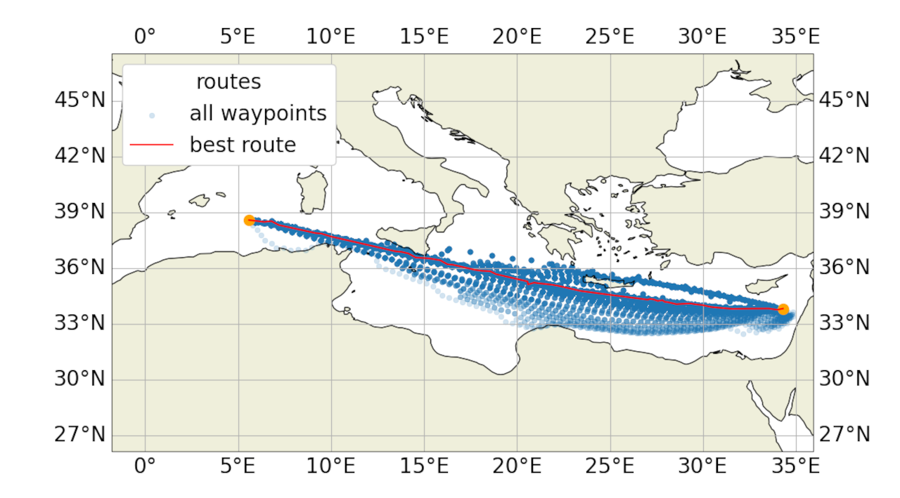
One central element of the digital platform will be the DSS, where 52°North will contribute significantly with the development of the respective ship routing functionalities. We can thereby build on 52°North’s Weather Routing Tool (WRT), which has been developed in the context of the MariData project.
Although the project started in February 2025, 52°North already initiated several activities to enhance the WRT. These efforts entailed activities to increase the usability and operability of the tool, such as a refinement of the documentation as well as refactoring for greater flexibility with respect to fuel consumption models and environmental data. In the past, the WRT did not own a module for calculating the ship’s fuel consumption, but implemented an adapter to use proprietary software for these estimations. We have now implemented a simple fuel consumption model to estimate the additional consumption due to wind resistance. With this, we gain more independence for internal testing and give users the possibility to easily evaluate the tool’s functionality without requesting access to the proprietary software. In addition, 52°North has pursued the implementation of a Kubernetes job manager for pygeoapi to enable running the WRT via an API. We have also supervised developments to significantly improve the performance of a genetic routing algorithm in the context of a Google Summer of Code project. We will continue to refine the performance of this algorithm and evaluate it against the WRT’s current standard algorithm – an Isofuel algorithm.
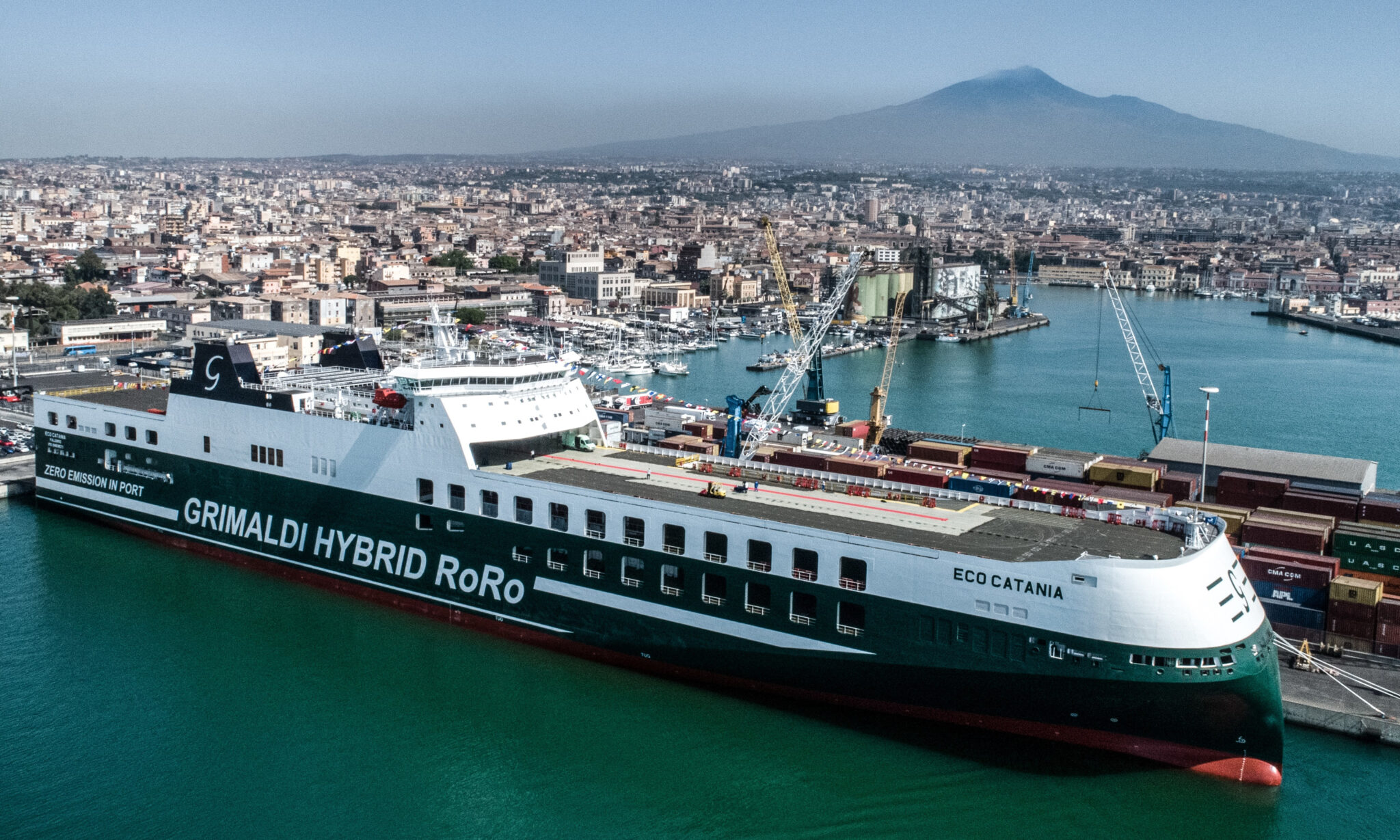
In the upcoming months, 52°North plans to implement an API for the WRT such that it can be accessed by the TwinShip project’s digital platform. We will also initiate developments to connect the WRT to the sophisticated fuel-consumption models that will be implemented by our project partners for three pilot vessels – one RoRo vessel, one RoPax vessel and a tanker. Based on a detailed requirement analysis, we will pursue the refinement of both routing algorithms.
Partners
Coordinator: The Arctic University of Norway (UiT), Norway
SINTEF, Norway
Wärtsilä, Finland/Serbia/Germany
Institute of Communication and Computer Systems (ICCS), Greece
National Technical University of Athens (NTUA), Greece
American Bureau of Shipping (ABS), Greece
Grimaldi Group, Italy
Stena, Sweden
Knud E. Hansen (KEH), Denmark
Fundación Valenciaport, Spain
ASSIST Software, Romania
UBITECH, Cyprus
Bound4blue, Spain