Web-based Agricultural Water Management Information System
Enhancing Climate Resilience through WebAIS
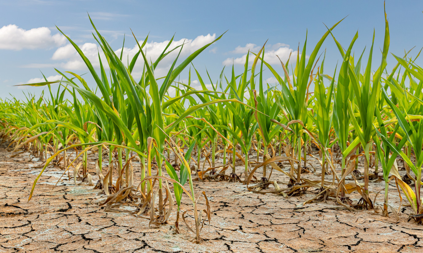
Agriculture is vital to Bangladesh’s economy, with irrigation playing a crucial role in food production. Despite a significant increase in irrigation coverage, from 3.4 million hectares in 2000 to 5.4 million hectares in 2013, unregulated groundwater extraction has led to declining groundwater levels, crippled irrigation systems, and increasing water scarcity. These challenges, coupled with climate change, underscore the need for sustainable water management. Web-AIS aims to integrate hydrological, crop, and climate models to provide real-time, data-driven solutions. Linked to the Bangladesh Agro-meteorological Information System (BAMIS), it will guide irrigation decisions, promote efficient use of surface water, and help address salinity issues. The overall goal of the project is to ensure food security by improving decision-making and supporting sustainable development while mitigating disaster risks.

52°North’s main task is to implement a web-based information system that serves as a decision support system for all stakeholders. This system is the Web-AIS project’s central connection and interface to the local stakeholders and will include the products and results of all project partners. It provides access to relevant information on the current situation regarding irrigation management techniques, information on available water balance, crop water demand, irrigation schedule, and also issues early warnings in the case of drought or other extreme events that may affect the irrigation activities. The spatial data infrastructure (SDI) is the architecture’s core. It comprises various OGC API web services, such as OGC API – Features, OGC API – Records or OGC API – Processes. Our team uses open-source implementations of the various OGC API standards to realize the architecture. The concept of OGC API – Building Blocks allows the different forms of OGC APIs to be combined into one comprehensive, standardized API. The goal of this approach is to create a gateway that functions as the primary access point for client applications. We will develop a web-based front-end application using Open Pioneer Trails as the core of the web information system.
In 2025, development focused on integrating sensor measurements and time series data. The project partners installed sensors (e.g., for measuring soil moisture) in fields in Bangladesh. These already continuously generate new measurements. In order to make the acquired data available to the upcoming WebAIS platform users, we used the OGC API – Connected Systems to publish this data in a standardized manner. OGC API – Connected Systems is the latest OGC standard to discover, access and interact with time series data. Existing weather and climate data for Bangladesh were made accessible correspondingly.

Partners
- Lead Implementing Agency: Bangladesh Agricultural Development Corporation (Lead Implementing Agency), Bangladesh
- Project Lead: TH Köln (Project lead): Research Group for Integrated Land and Water Management, Germany
- TU Darmstadt: Institute of Applied Geoscience, Germany
- Luxembourg Institute of Science and Technology: Environmental Research and Innovation (ERIN), Luxembourg
- Bangladesh Agricultural University, Bangladesh
- Institute of Water and Flood Management, Bangladesh
- Dhaka University: Department of Geology, Bangladesh
- Bangladesh University of Engineering and Technology, Bangladesh
- Sreejon Investment and Consultant Ltd., Bangladesh
- Bangladesh Agricultural Research Institute (BARI), Bangladesh
- Bangladesh Rice Research Institute (BRRI), Bangladesh