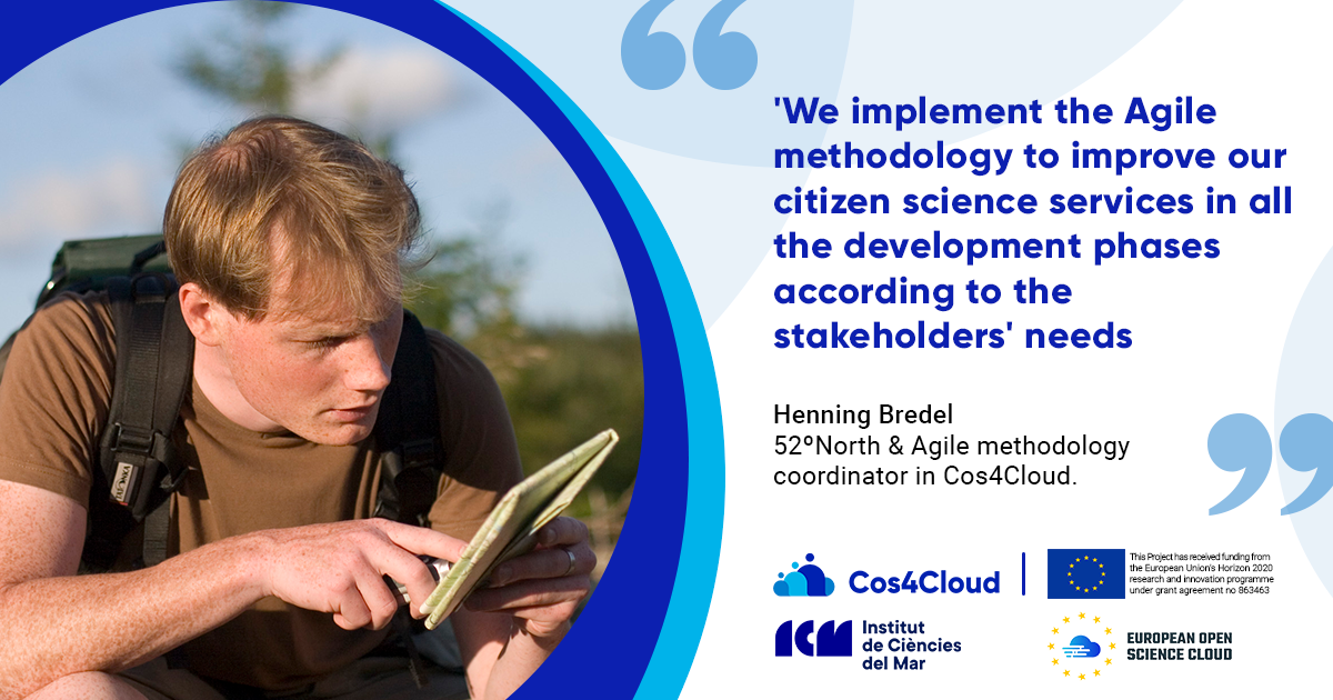
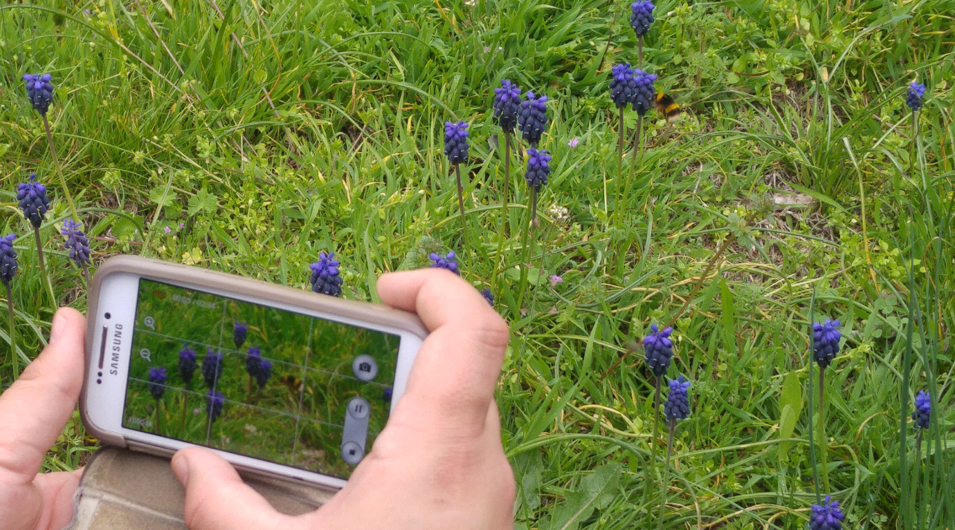
• Github
  • Wiki
  • News
  • Blog
  • Search

52°North Spatial Information Research GmbH

exploring horizons

  • 52°North Spatial Information Research GmbH

    exploring horizons

  • About us
    • Profile
    • Scientific & Technical Advisory Board
    • Shareholders
    • Affiliations
    • Contact us
  • Research
    • Scope
    • Associated Labs
    • Publications
  • Software
    • Software components
    • Licensing
    • Contribute
  • Services
  • Solutions
  • Outreach
  • Careers
Home > Archives for citizen science

June 20, 2022

Implementing AGILE Methodology to Improve Citizen Science Services

Implementing AGILE Methodology to Improve Citizen Science Services

Interview with Henning Bredel

Henning Bredel is part of the Cos4Cloud project team implementing the Agile methodology. He explains the 52°North strategy to implement agile methodology from a coordination level by creating a workflow to ensure all the services developers are connected to the relevant stakeholders and receive and implement their feedback.

Cos4Cloud interview


December 18, 2020

OGC TC Meeting – December 2020

The 117th OGC Member Meeting meeting takes place virtually from December 7 – 16, 2020. 52°North’s Benjamin Proß leads discussions in the OGC API – Processes SWG. Henning Bredel supports presentations in the CitSci and Architecture DWGs.

December 7th

12:20 – 12:40    OGC API – Processes SWG

–  OGC API – Processes – Update (Benjamin Pross, 52°North GmbH)

12:20 -12:40   Cit.Sci DWG

–  Sensors Things API extension for Citizen Science (Andreas Matheus, Secure Dimensions)


December 10th

12:00 – 1:30 Architecture DWG

–   Sensors Things API extension for Citizen Science – straight forward? (Andreas Matheus, Secure Dimensions)

June 9, 2020

CITRAM begins test phase

CITRAM begins test phase

Today’s virtual kick-off initiates the CITRAM – Citizen Science for Traffic Management research project’s testing phase. 

Hamm’s city administration employees are the first participants to test the CITRAM app. Today’s virtual kickoff informs the participants of the enviroCar driver fleet on the use of ODB (On-Board-Diagnose) adapters with the enviroCar and [ui] ECOMAT apps. Equipped with a car, an Android smart phone and an OBD adapter, the participants will anonymously track their driving along predefined routes for approximately 2 months.

The first fleet of cars will take to the streets on June 15, 2020. The cities of Krefeld (testing in Krefeld) and Chemnitz (testing in Chemnitz) will follow in the coming weeks. Testing should be completed by the end of August.

more >

May 27, 2020

Cos4Cloud @ EGU20

Cos4Cloud @ EGU20

Design and Development of Interoperable Cloud Sensor Services to Support Citizen Science Projects

Citizen Observatories are becoming an increasingly popular source of input data in many scientific domains. During the recent EGU2020: Sharing Geoscience Online, Simon Jirka (52°North) presented the ideas behind the European H2020 project Cos4Cloud (Co-designed citizen observatories for the EOS-Cloud). The project aims at providing re-usable services for setting up Citizen Observatories based on the European Open Science (EOS) Cloud. In particular, it will use interoperability standards such as the the Open Geospatial Consortium’s (OGC) Sensor Observation Service (SOS), SensorThings API and Observations and Measurements (O&M).

Presentation…

More information about the project…

  • « Previous Page
  • 1
  • 2
  • 3
  • 4
  • Next Page »
  • News
  • Events
    • 52N Events
  • Careers
  • Contact Us
    • Legal Notice
  • Privacy Statement

Shareholders

  • con terra
  • esri inc
  • ifgiInstitute for Geoinformatics logo
  • itc
  • RSS
  • You Tube
  • Blueskybluesky logo
  • Fosstodon
  • LinkedIn

©2025 by 52°North Spatial Information Research GmbH. All Rights Reserved.