• Github
  • Wiki
  • News
  • Blog
  • Search

52°North Spatial Information Research GmbH

exploring horizons

  • 52°North Spatial Information Research GmbH

    exploring horizons

  • About us
    • Profile
    • Scientific & Technical Advisory Board
    • Shareholders
    • Affiliations
    • Contact us
  • Research
    • Scope
    • Associated Labs
    • Publications
  • Software
    • Software components
    • Licensing
    • Contribute
  • Services
  • Solutions
  • Outreach
  • Careers
Home > Archives for SenSituMon

October 17, 2022

Geodesy Prize awarded to Arne de Wall

Geodesy Prize awarded to Arne de Wall

The Nico Rüpke Foundation and the DVW e.V. – Society for Geodesy, Geoinformation and Land Management present the Geodesy Award.

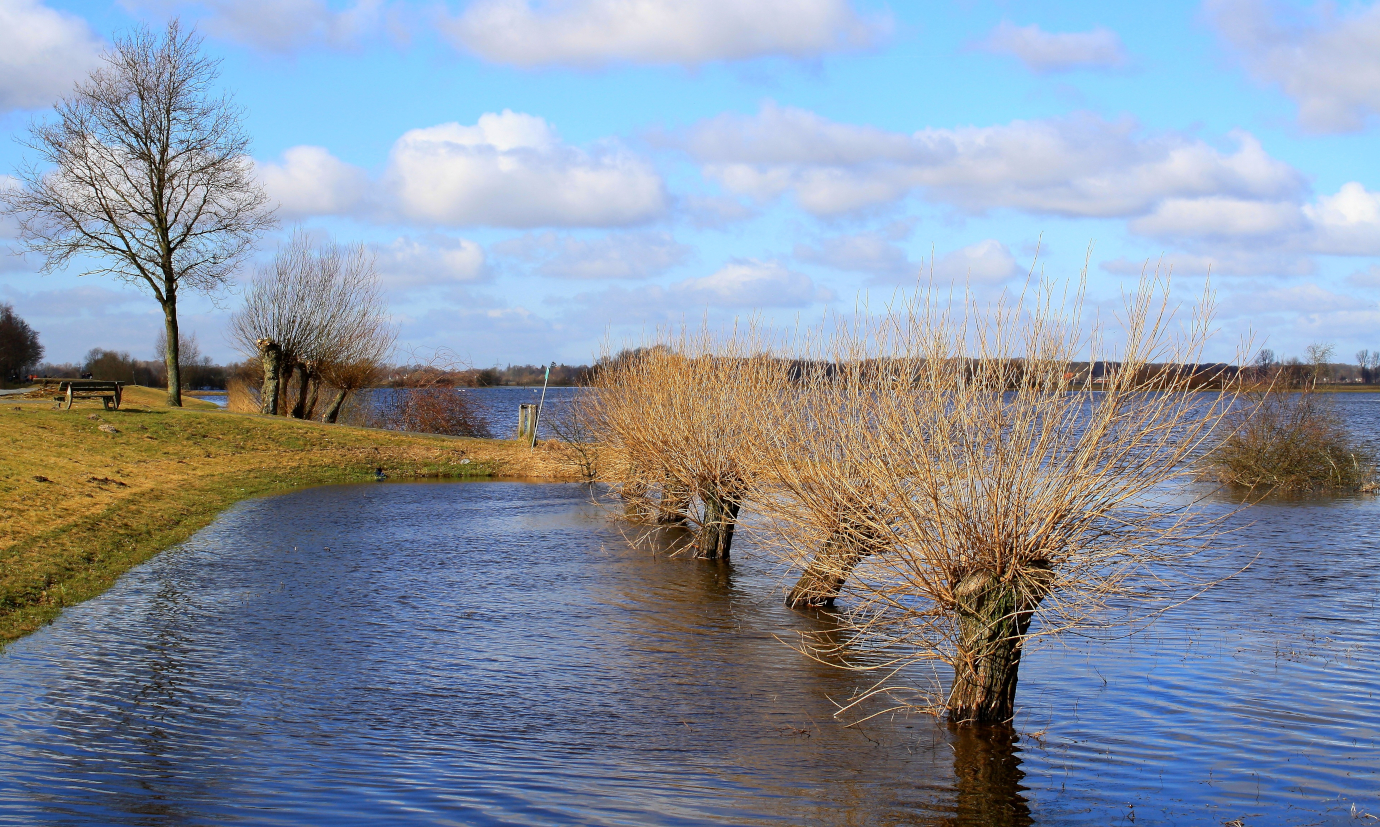
The chairman of the Nico Rüpke Foundation, Prof. Erich Kanngieser, and the DVW President, Prof. Hansjörg Kutterer present the Geodesy Prize Award during the INTERGEO Conference on Tuesday, October 18, 2022 at 17:00. The prize is awarded for the outstanding technical zfv (3/2021) article “SenSituMon – Integration of Satellite and in-Situ Sensor Data to Improve the Automated, Large-Scale Monitoring of Floods” (Arne de Wall, Albert Remke, Bodo Bernsdorf, Thore Fechner, Alexandra Bicsan and Adrian Klink). It will be presented to the first author Arne de Wall on behalf of the team of authors.
 

August 28, 2018

INSPIRE Conference 2018

INSPIRE Conference 2018

INSPIRE users: Make it work together

This year’s conference takes place from September 18 – 21, 2018 in Antwerp, Belgium. The conference provides a platform to meet creators, specialists, developers and users of Europe’s digital highway for sharing spatial data on the environment. 52°North and partners participate with the following presentations and posters.

Tuesday, September 18

Tools and technologies, Room: Gorilla 3

10:00 – 10:45  Web-based Event Detection for Water Resource Management (Matthes Rieke)

Management of natural resources, Room: Okapi 3

09:00 – 9:45  Development of Interoperable Infrastructures for Marine Real – Time Observation Data (Simon Jirka)

Wednesday, September 19

Environmental monitoring and reporting, Room: Gorilla 1

10:00 – 10:15  SenSituMon: Using Open Data, INSPIRE , and Copernicus Data to Automatically Calculate Flood Masks (Thore Fechner)

Thursday, September 20, 2018 – 14:00

Workshop, Rooms: Gorilla 4 & 5
14:00 – 16:00  SDIs for the Internet of Things. The integration of spatio-temporal data in INSPIRE (Alexander Kotsev)

Friday, September 21

National approaches, strategies and international cooperation, Room: Okapi 3

11:00 – 11:15  Streamlining PRTR data provision for INSPIRE and eReporting duties (Marco Hohman)


Posters

A Lightweight Platform for Facilitating Web Application Development on top of INSPIRE Services (Simon Jirka)

WaCoDiS – Identifying Element Inputs in Water Bodies relying on INSPIRE and Copernicus (Simon Jirka)

WPS REST – a simplified way for integrating processing facilities in Spatial Data Infrastructures (Christoph Stasch)

  • News
  • Events
    • 52N Events
  • Careers
  • Contact Us
    • Legal Notice
  • Privacy Statement

Shareholders

  • con terra
  • esri inc
  • ifgiInstitute for Geoinformatics logo
  • itc
  • RSS
  • You Tube
  • Blueskybluesky logo
  • Fosstodon
  • LinkedIn

©2025 by 52°North Spatial Information Research GmbH. All Rights Reserved.