• Github
  • Wiki
  • News
  • Blog
  • Search

52°North Spatial Information Research GmbH

exploring horizons

  • 52°North Spatial Information Research GmbH

    exploring horizons

  • About us
    • Profile
    • Scientific & Technical Advisory Board
    • Shareholders
    • Affiliations
    • Contact us
  • Research
    • Scope
    • Associated Labs
    • Publications
  • Software
    • Software components
    • Licensing
    • Contribute
  • Services
  • Solutions
  • Outreach
  • Careers
Home > Archives for RDI

June 14, 2024

Simeon Wetzel to Implement Geospatial Data Search and Discovery in RDIs

Simeon Wetzel to Implement Geospatial Data Search and Discovery in RDIs

52°North Student Innovation Prize – Proposal chosen for implementation

52°North is committed to fostering innovation in the field of geoinformatics, focusing on the application of cutting-edge technologies to address real-world challenges. To encourage students and research software engineers pursuing a PhD to develop and apply creative ideas in the geospatial field, the 52°North Student Innovation Prize for Geoinformatics was established.

Innovation Prize 2024In this year’s iteration, 52°North has decided to fund the work of Simeon Wetzel, a PhD student at the Chair of Geoinformatics at the TU Dresden. Simeon will work on a novel approach to geospatial data search and discovery in the context of Research Data Infrastructures. His strong proposal identified three major problems with current search functionality in data platforms: 1) semantics of queries are not considered, 2) high quality metadata is a key factor for good search experience, 3) the complex structure of spatio-temporal data is not considered, especially in full-text search approaches.

Simeon will design an architecture that overcomes these limitations by considering Large Language Models as well as AI/ML patterns. The concept will also include sophisticated tools for automatically deriving meaningful metadata from data sets.

The conceptual phase of the project has just kicked off. Over the coming months, Simeon will work on the concept and on an implementation that can be integrated with existing Research Data Infrastructure solutions.

Stay tuned for more!


April 5, 2023

Geospatial World Forum 2023

Geospatial World Forum 2023

Geospatial Caravan: Embracing One & All

GWF 2023 will be held in Rotterdam, The Netherlands, from May 2-5, 2023. This event brings together the global geospatial community, including government and public sector, industry, academia, and civil society. They work together to simplify the technological, institutional and workflow complexities and increase the impact for the benefit of society.

52°North’s Benedikt Gräler will present work done in the I-CISK and DIRECTED projects. He focuses on connecting data and models for better climate change adaptation and disaster risk reduction. He is also part of a panel on Digital Twins (DTs) as seen from a geospatial perspective, and AI and Geospatial.  

Thursday, May 4, 2023

16.00 – 17.30 Van Walsum Hall EUROGI Workshop:- Digital Twins, AI and Geospatial

Friday, May 5, 2023

13.30 – 15.00 Session 5: Collaborative models for fit-for-purpose knowledge co-creation

Connecting Data and Models Across Stakeholders, Science, Industry, and Government for Better Climate Change Adaptation and Disaster Risk Reduction (Dr. Benedikt Gräler)

February 16, 2023

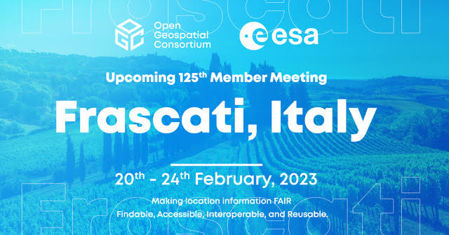
125th OGC Member Meeting

125th OGC Member Meeting

This year’s first OGC Member Meeting takes place February 20 – 24, 2023 in Frascati, Italy. It will continue to connect location, show why standards matter, and share how interoperable technologies are crucial to sharing geospatial information. 52°North’s OGC expert, Benjamin Pross continues to head the OGC API – Processes Session, detailing the progress made and outlining next steps. He also presents in the the Climate Resilience DWG.

Monday, 20.02.2023

14:20  Climate Resilience DWG

“Addressing Disasters Together – Two European Project perspectives”  (Benjamin Pross)

Wednesday, 22.02.2023

16:10  Joint OGC API SWG Session

“OGC API – Processes” (Benjmain Pross, Stann Tillman)


October 19, 2021

IfGI GI-Forum

IfGI GI-Forum

The Geoinformatics Forum takes place on a weekly basis during the lecture period on Tuesdays at the Institute for Geoinformatics at Heisenbergstraße 2 in Münster (room 242). It provides a platform for discussion on differents topics from the field of acquisition and dissemination, analysis and visualization of spatial data.  Dr. Benedikt Gräler will discuss recent activities and developments of certain spatial information solutions: ML-based water classification from Landsat and Sentinel SAR images, modeling of marine cargo ships, uncertainty enabled multi-risk models, and custom research data infrastructures.

Tuesday October 26, 2021

12:45    From Spatial Data to Information

  • « Previous Page
  • 1
  • 2
  • 3
  • Next Page »
  • News
  • Events
    • 52N Events
  • Careers
  • Contact Us
    • Legal Notice
  • Privacy Statement

Shareholders

  • con terra
  • esri inc
  • ifgiInstitute for Geoinformatics logo
  • itc
  • RSS
  • You Tube
  • Blueskybluesky logo
  • Fosstodon
  • LinkedIn

©2025 by 52°North Spatial Information Research GmbH. All Rights Reserved.