![]() As the WaCoDiS project comes to an end, the project members invite you to attend the presentation of their results. The final presentation takes place virtually on January 19, 2021 from 9:00 – 11:30. 52°North’s Sebastian Drost demonstrates the automatic processing.
As the WaCoDiS project comes to an end, the project members invite you to attend the presentation of their results. The final presentation takes place virtually on January 19, 2021 from 9:00 – 11:30. 52°North’s Sebastian Drost demonstrates the automatic processing.
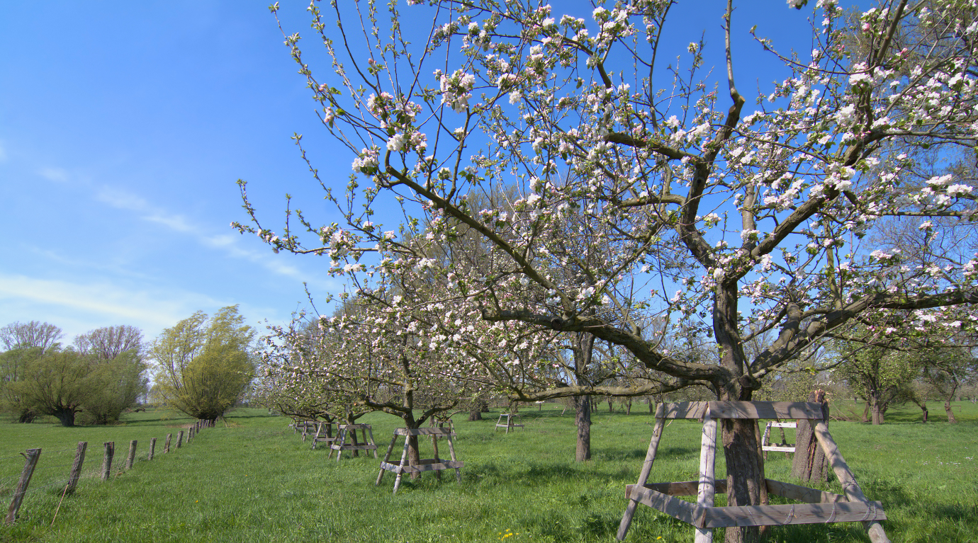
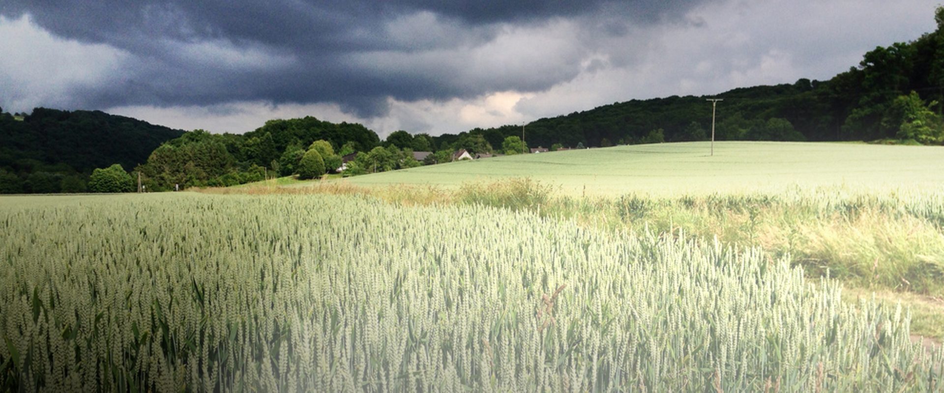
Current and reliable data are a prerequisite for sustainable and economic planning in the wake of digitalization. They are also a precursor for possible automation of processes.
The WaCoDiS research project addressed, among other things, the following topics
– development of algorithms for land coverage
– system architecture for automatic satellite data computing
– processing of satellite information.
More information, the program and the registration form can be found at the Wupperverband’s website.
Please register by January 14, 2021 at the latest.
*Note: This event will be held in German.