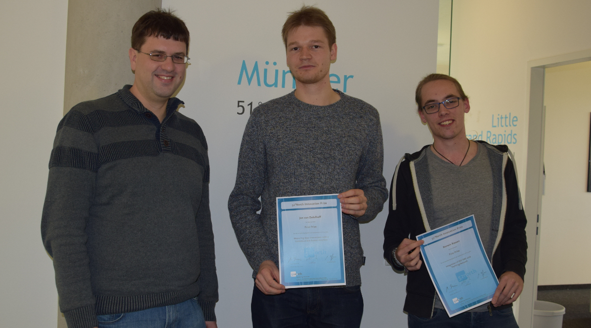
• Github
  • Wiki
  • News
  • Blog
  • Search

52°North Spatial Information Research GmbH

exploring horizons

  • 52°North Spatial Information Research GmbH

    exploring horizons

  • About us
    • Profile
    • Scientific & Technical Advisory Board
    • Shareholders
    • Affiliations
    • Contact us
  • Research
    • Scope
    • Associated Labs
    • Publications
  • Software
    • Software components
    • Licensing
    • Contribute
  • Services
  • Solutions
  • Outreach
  • Careers
Home > Archives forAnn Hitchcock

July 3, 2017

On-site Inspection of Große Dhünn-Talsperre

On-site Inspection of Große Dhünn-Talsperre

52°North’s Drs. Ben Gräler and Simon Jirka recently joined members of the new MuDaK-WRM project (funded ba the BMBF) for a tour of the “Große Dhünn-Talsperre” (Large Dhuenn Dam). The dam serves as an initial monitoring reservoir for the project.more >

May 31, 2017

Google Summer of Code 2017

Google Summer of Code 2017

Meet our GSoC students and their projects!

52°North’s Google Summer of Code students have started their work.more >

May 15, 2017

New Forms of Citizen Engagement @ Geotag Münsterland 2017

New Forms of Citizen Engagement @ Geotag Münsterland 2017

Digital Society – Digital Change

Social media, platforms for publishing user generated web content, or even the Internet of Things with its easy to use technologies for environmental monitoring have facilitated the emergence of new forms of citizen engagement. Prof. Dr. Andreas Wytzisk outlines central developments and presents practical examples from disaster management and environmental monitoring.more >

May 15, 2017

Coupling OGC SOS and WPS for Online Geoprocessing in Dam Monitoring

Easy integration of heterogenous sensor data sources with different geoprocessing technologies

Christoph Stasch et al. report on work done within the TaMIS Project. The recently published article “Coupling sensor observation services and web processing services for online geoprocessing in water dam monitoring” presents an approach for easy integration of geoprocessing components in the TaMIS dam monitoring system.more >

  • « Previous Page
  • 1
  • …
  • 37
  • 38
  • 39
  • 40
  • 41
  • …
  • 43
  • Next Page »
  • News
  • Events
    • 52N Events
  • Careers
  • Contact Us
    • Legal Notice
  • Privacy Statement

Shareholders

  • con terra
  • esri inc
  • ifgiInstitute for Geoinformatics logo
  • itc
  • RSS
  • You Tube
  • Blueskybluesky logo
  • Fosstodon
  • LinkedIn

©2025 by 52°North Spatial Information Research GmbH. All Rights Reserved.