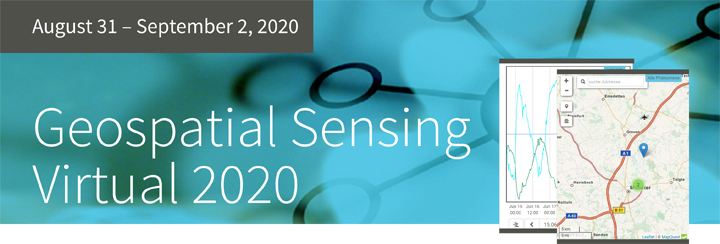
The 52°North Open Innovation Network announces that the Geospatial Sensing | Virtual 2020 program is online!
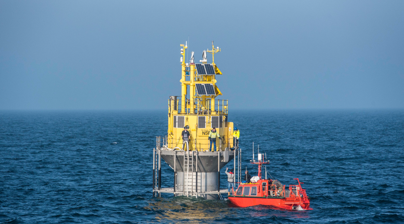
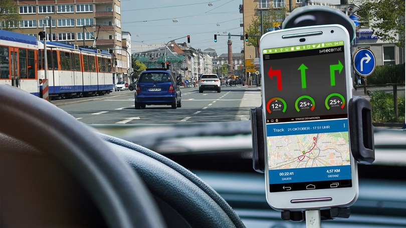
Earth observation networks, e.g. in-situ sensors and remote sensing systems, deliver a multitude of data capturing the state of our environment. These data sets are highly valued by scientists and stakeholders from a variety of domains and backgrounds such as hydrology, marine sciences, traffic management, environmental monitoring, energy supply or smart city systems. An active research and development community works on new approaches to share, manage, discover, analyze, and visualize geospatial sensor data. The Geospatial Sensing Conference provides a platform for scientists, developers and users to examine current challenges, present best practices and discuss future developments.
This year’s conference Geospatial Sensing – From Sensing to Understanding Our World emphasizes the importance of sensor data interpretation, analysis and visualization, as well as tools and infrastructures for sharing geospatial sensor data. Sensor data users, researchers and experts meet to present and discuss their ideas, use cases and solutions.more >