Enabling Near Real-Time Use of Earth Observation Data
The Earth Observation Community promotes the use of free near real-time environmental and Earth Observation data (in-situ, airborne and space based) and derived products to a worldwide user community.
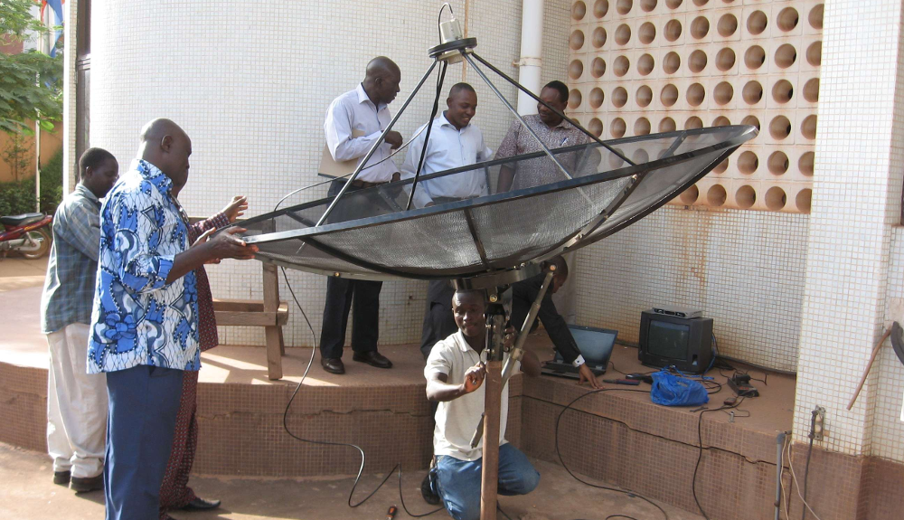
Using inexpensive, off-the-shelf equipment, the data can be directly received from communication satellites. This capability, in conjunction with data from freely accessible archives, provides the possibility to obtain a multitude of environmental and Earth Observation related data. This information is highly relevant for various application domains such as weather, atmosphere, oceans, land, vegetation, water and environment.
Environmental and Earth Observation data can already be obtained from internet based archives. Currently, GEONETCast provides free near real-time environmental and Earth Observation data and derived products to a worldwide user community without the need for internet access. This operational data delivery system provides the user with continuous environmental and Earth Observation data streams. In order to effectively use the data, open source and freeware utilities are required that facilitate automated data handling coupled with (semi-automated) data processing and visualization capabilities.
Vision: to enable automated data handling coupled with (semi-automated) data processing and visualization capabilities to efficiently transform data into information suitable for timely and informed decision making.
Software
We develop Remote Sensing and GIS software, as well as tools to efficiently transform data into information suitable for timely and informed decision making.
Our featured software:
- ILWIS – Integrated GIS and Remote Sensing (RS) open source software
- ILWIS Toolboxes – plug-in toolboxes for retrieving, processing and managing near real-time environmental and Earth Observation data (in-situ, airborne and space based) and derived products using ILIWS.
