• Download
  • Github
  • Wiki
  • Discuss
  • Blog
  • Search

52°North Spatial Information Research GmbH

exploring horizons

  • 52°North Spatial Information Research GmbH

    exploring horizons

  • About us
    • Profile
    • Scientific & Technical Advisory Board
    • Shareholders
    • Affiliations
    • Contact us
  • Research
    • Scope
    • Associated Labs
    • Publications
  • Software
    • Software projects
    • GitHub
    • Licensing
    • Contribute
  • Services
  • References
  • Outreach
    • Conferences
    • Webinars
    • Google Summer of Code
    • Student Innovation Prize
  • Careers
Home > Archives for RS

January 24, 2020

New ILWIS 3.8.6 release

New ILWIS 3.8.6 release

Restored and stabilized functionality in ILWIS 3.8.6

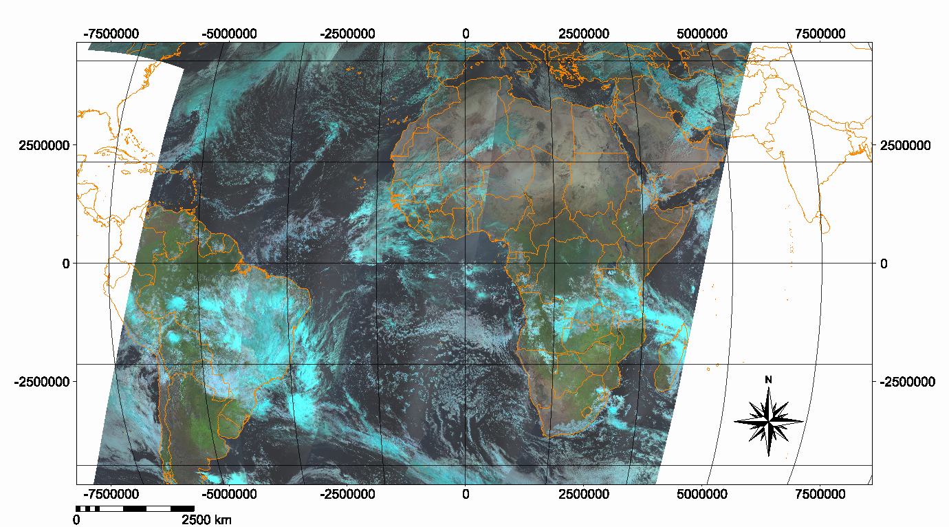
The ILWIS team announces a new version of the modular PC-based GIS & Remote Sensing software ILWIS. ILWIS 3 integrates image, vector and thematic data processing functionalities in one unique and powerful desktop package.

ILWIS 3.8.6 was released on January 22, 2020 and provides some new functionality. More importantly, it restores pre version 3.8. functionality that wasn’t included when the map-rendering system was rewritten to use OpenGL. The Segment Map Editor, the MapView and the Georeference Tiepoints, among others, now work again. In addition, there is improved stability in a large number of functions that were added between ILWIS 3.7 and ILWIS 3.8.5.

See the changelog for details.
  • News
  • Events
    • 52N Events
    • 52N Webinars
  • Careers
  • Contact Us
    • Legal Notice
  • Privacy Statement

Shareholders

  • con terra
  • esri inc
  • ifgiInstitute for Geoinformatics logo
  • itc
  • RSS
  • You Tube
  • Twitter

©2023 by 52°North Spatial Information Research GmbH. All Rights Reserved.