Data Analysis for Assisted Driving
The analysis toolbox will help Volkswagen consistently assess service area candidates for assisted driving cars.
The Operational Design Domains for Self Driving Systems working group at Volkswagen Commercial Vehicles is responsible for evaluating potential service areas for automated driving vehicles. The Operational Design Domain describes, not only information on weather and traffic, but also characteristics of the underlying road network. Due to our expertise in geospatial data analysis and efficient processing of high volume geodata, Volkswagen contracted 52°North to develop a toolbox that enables the automatic derivation of these characteristics from available spatial datasets.
The highly detailed road network data offered by Open Street Map builds the foundation for the analysis toolbox. It enables the derivation of basic properties, such as the distribution of road types, speed limit or number of driving lanes for a given area of interest.
The toolbox will support complex analysis capabilities, such as statistics on curve radius, the impact angle of junctions or road slopes as well. The system reconciles two different analysis concepts:
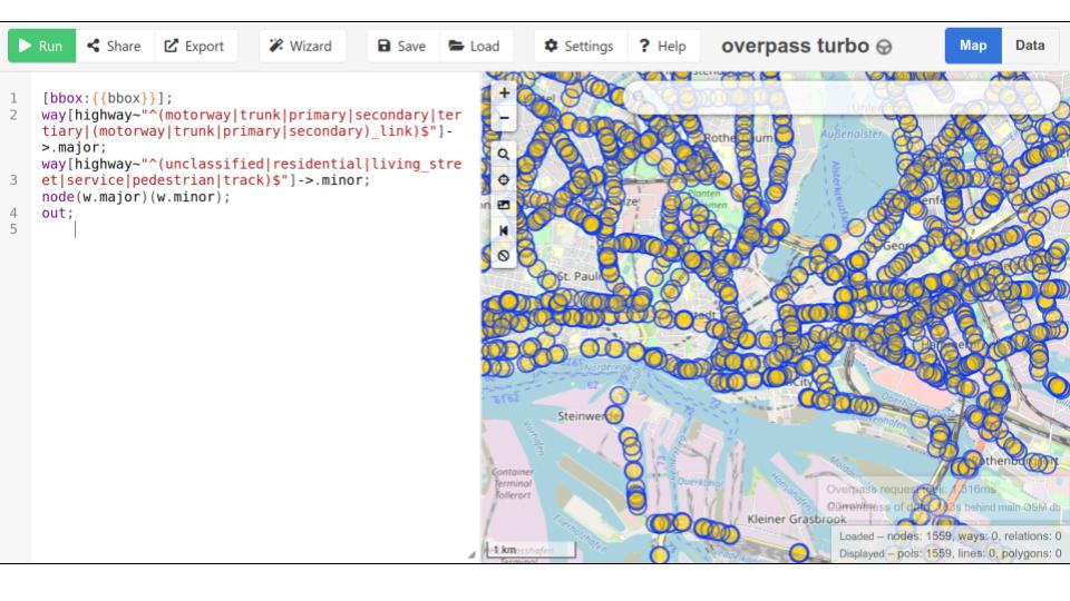
- basic analysis using the Overpass Turbo API
- complex statistics using the Python library osmnx in combination with a PostGIS database
The outcome of the project is a Python toolbox that enables the Volkswagen team to automatically derive statistics for worldwide service area candidates.

Customer
Volkswagen, Germany
