Next Generation Standardized Web-based Geoprocessing
Interoperable processing framework for web applications/distributed workflow systems
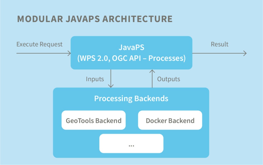
JavaPS enables a standardized deployment of geo-processes on the web. One of its main goals is to provide an interoperable processing framework for web applications or distributed workflow systems. Therefore, it fully supports the OGC Web Processing Service 2.0 interface specification. True interoperability only succeeds when transmission data models are well-defined and supported. javaPS supports a broad range of standardized formats and de-facto industry standards including, but not limited to OGC GML (versions 2.x to 3.2.1), GeoJSON, Esri Shapefile, GeoTIFF or KML. In addition, GeoServer (WMS or WFS) enables the dissemination of processing results. This allows a seamless integration into existing Spatial Data Infrastructures.
javaPS evolved from the longstanding 52°North WPS implementation, but uses modern frameworks such as Spring, 52°North Arctic Sea or Guava. It features a pluggable architecture for processes and data encodings.

Benefits
- Abstraction of (existing) processing tools
- Support for the majority of standardized geo-data formats
- Lightweight API, following the latest state of the draft OGC API Processes standar
Fields of Application
Web-based processing, automated workflows, Earth Observation, Data Analytics
