Interoperable Spatial Data Processing
Shaping the future of spatial data technologies
The Open Geospatial Consortium (OGC) Testbed is an annual research and development program that explores geospatial technology from various angles. “Testbed-16 evaluates the maturity of the Earth Observation Cloud Architecture that has been developed over the last two years as part of various OGC Innovation Program initiatives in a real world environment.“ (https://www.ogc.org/projects/initiatives/t-16)
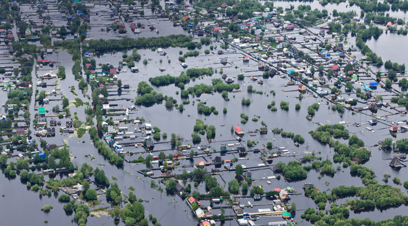
52°North participated in two different Testbed threads, the Earth Observation Clouds (EOC) and Data Integration & Analytics (DIA) threads. The (EOC) thread task Earth Observation Application Packages with Jupyter Notebooks (EOAP) focused on the publication of Jupyter Notebook-based processes in Cloud environments. We created a Notebook implementation for flood mapping using Sentinel-1 data use cases. Our team deployed the Notebook processes using Common Workflow Language definitions in combination with Application Deployment and Execution Services (ADES).
In the DIA’s Machine Learning task, 52°North developed a machine learning model based on TensorFlow for the identification of water bodies using Sentinel-1 data provided via an OGC API Tiles server. We also published the model on the web via the ADES integration pattern.

Project Partners
Terradue Srl, Italy
Geomatys, France
Spacebel s.a., Belgium
CubeWerx Inc., Canada
RSS-Hydro, Luxembourg
