Improved Reservoir Management with Easily Parameterized Models
Multidisciplinary data acquisition as key for globally applicable water resource management
Water is a highly valuable good worldwide. It must be managed with care in order to fulfill the needs of diverse consumers. The quality of a water reservoir not only depends on the reservoir itself, but is also influenced by the surrounding environment and the entire catchment. While in situ monitoring of a reservoir provides detailed data, it is also very costly. The MuDak-WRM project aimed to identify proxies that provide insights into the quality of a reservoir, which are detailed enough for mid-range management and applicable worldwide.
The specific goals were the complexity reduction of current water reservoir (management) models, their parameterization based on a minimal data set, the development of a central data delivery service, wrapping models in web processing services (WPS), and a common visual web-based water quality exploration tool. A key constraint was the parameterization based on Sentinel data and a minimum of additional in situ measurements in order to achieve a globally applicable but nevertheless sensible monitoring framework.
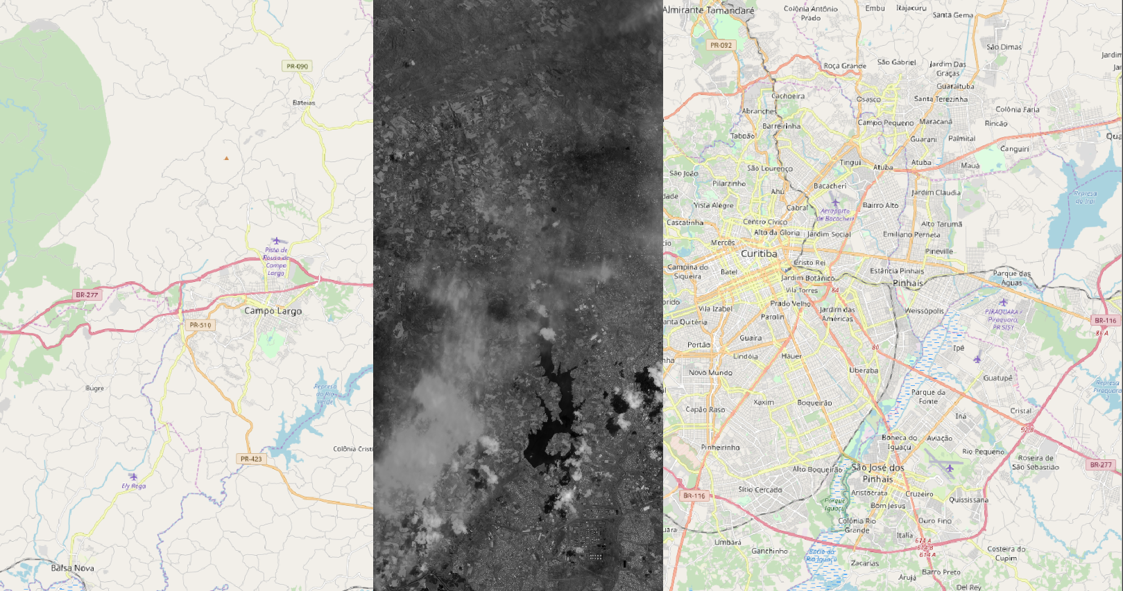
The technical driver of this development is a central data access point that provides and merges in situ and remote sensing data. 52°North contributes the development of an open source service that grants access to spatial and spatio-temporal data from in situ sensors, measurement campaigns, drones, and Sentinel missions. A key challenge originates from the data’s different spatial and temporal resolutions. Where autonomous in situ sensors continuously report measurements within minutes at fixed locations, field campaigns can produce data acquired in seconds along 3-dimensional trajectories and remote sensing data is collected on a daily scale with a large 2-dimensional coverage.
We assessed the storage of gridded data in different databases (SciDB, Geoserver) according to the quick retrieval of pixel time series. Web coverage and web map services (OGC WCS and WMS) facilitate the access. The Sensor Observation Service (OGC SOS)provides in situ measurement data. Web processing services (OGC WPS) provide models developed by the consortium that build upon the centralized data. Our team worked with the Wupperverband to develop a joint interface to the reservoir data.
In 2020, the MuDak-WRM Spatial Data Infrastructure (SDI) evolved further to meet the partners’ needs. The project members coordinated developments during a joint project workshop in Curitiba. In order to support the use of remote sensing imagery, we integrated the GeoServer into the SDI serving data as WMS and WCS. The work package leader Wupperverband developed a viewer for the SDI. Furthermore, the Institute for Geoinformatics and our team compared the performance of the GeoServer solution with an alternative based on gdalcubes.

Partners
Karlsruher Institut für Technologie (KIT), Germany
Universität Koblenz Landau, Germany
Hydron GmbH, Germany
Wupperverband, Germany
EFTAS, Germany
Associated Partners
Sanepar, Brasil
Universidade Federal Do Paraná (UFPR), Brasil
Universidade Positivo, Brasil
EMATER, Brasil
Instituto das Águas do Paraná (Auguas Paraná), Brasil
Agência Nacional De Águas (ANA), Brasil

