Copernicus Data Infrastructure at IT.NRW
Efficient processing of Copernicus satellite and in situ data
The LANUV NRW Competence Center Remote Sensing uses Copernicus data to monitor protected biotopes. However, the available IT infrastructure is not sufficient to cope with the resulting data volumes and intensive computational processing processes. Other state authorities in North Rhine-Westphalia see themselves in a similar situation. IT.NRW provides central IT infrastructure services to the state authorities in its capacity as a national data center. It intends to expand its range of services for the use of remote sensing data. For this development, IT.NRW uses an agile process. A number of pilot projects are used to develop structures and answer questions that contribute to the sustainable development of an efficient Copernicus data infrastructure for the state administration in NRW.
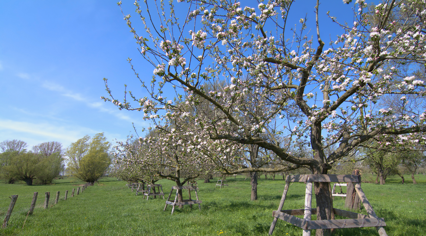
The first pilot project focused on the detection and qualification of orchards in NRW. As part of the project, the technical requirements for the most extensive automated processing of Copernicus (S2) data and other in situ data sources (e.g. DEM, DSM, ATKIS) were created. Basic questions concerning data organization, the efficient processing of Copernicus data, and the ArcGIS based dissemination of Copernicus data and derived information products in the IT infrastructure of the state administration were also answered.
52°North supported the requirement analysis as well as architectural design and implementation of the Docker/Kubernetes based infrastructure.
Project Partners
con terra GmbH (main contractor)
EFTAS Fernerkundung Technologietransfer GmbH