November 29, 2018 4:00 pm CET
Exploiting Copernicus Data with ILWIS4
– from download to display
University of Twente and 52°North invite you to this free webinar. Learn how you can use Copernicus satellite image data in ILWIS4, a new version of the well-known open source GIS software.
About Copernicus and ILWIS4
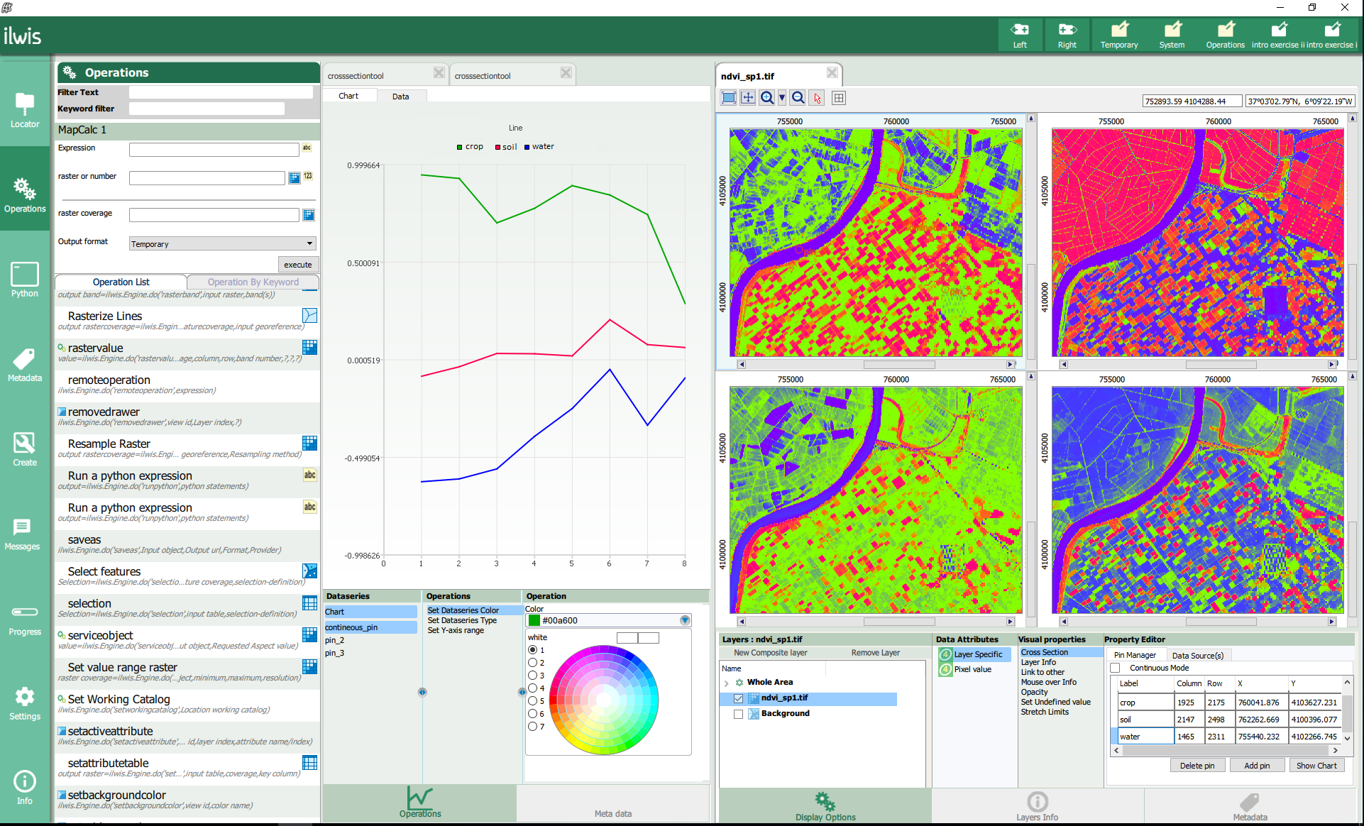
Copernicus is a large earth observation programme run by the European Commission and the European Space Agency. Its Sentinel satellites provide openly accessible satellite image data. This data can now be used in the latest version of ILWIS. ILWIS4 is an open source earth observation and GIS software package. It supports import, export, editing, analysis and visualization of geodata.
Webinar contents
What to expect in this webinar:
- How to download and pre-process satellite image data with the Sentinel Application Platform.
- A short introduction to the ILWIS4 software.
- A step-by-step guide of how to display Sentinel-2 data and a demonstration of simple raster operations.
Use cases
We have prepared two use cases in which we will use Sentinel-2 sensor data to calculate radiometric indices. In our first use case we calculate the Normalized Difference Vegetation Index (NDVI) in order to monitor an agricultural area in Southern Spain. In the second use case we will calculate the Normalized Difference Water Index (NDWI2) to detect water and analyze changes over time.
Last but not least you’ll get a peek at the option to create workflows out of single operations.
Q&A
After the demo we will be happy to answer your questions. Tutorial materials will be provided after the webinar so that you can try the presented software components yourself.
