First results presented and next steps discussed and synchronized
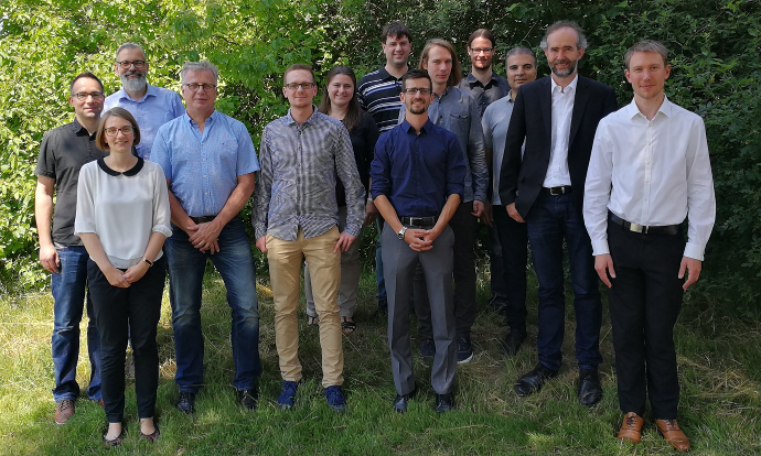
Last week 52°North welcomed the entire WaCoDiS project consortium for the annual status meeting. Project partners were happy to welcome representatives from the Federal Ministry of Transport (BMVI) and Digital Infrastructure and the TÜV Rheinland (promoter of the project). The meeting began with a presentation of the project’s background and goal. Each project partner also gave an introduction and explained his/her role in the project. In addition, the two representatives introduced themselves and provided some useful information for additional funding opportunities and activities.
Partners then presented the project’s first results:
- detailed requirements analysis by means of several interviews with the various departments of the Wupperverband
- identification of water management use cases and derivation of system demands
- first concept for the system architecture.
The second part of the meeting focused on relevant developments for the project. Hence, the consortium discussed analysis findings and different approaches for the implementation:
- containerization of certain system components
- encapsulation of earth observation tools by OGC Web Processing Services (WPS)
- harmonization of the access to various data sources
- publish-subscribe patterns for data access
- current and planned developments for remote sensing components
- potential frameworks for modelling sediment and material inputs
- extension of Sensor Web and SDI for the Wupperverband to integrate raster data
- cloud based approaches for spatial data infrastructures.
Both the project partners and the representatives from BMVI and TÜV Rheinland were very pleased about the project’s current status and the meeting’s results. The discussions contributed to a better understanding of future challenges, but also provided different approaches to them. In conclusion, the status meeting was a full success for all participants so that the future task can be tackled confidently.
