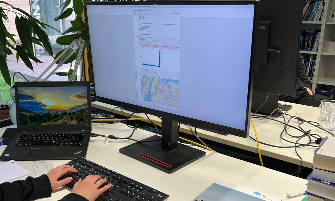
Arved tests the GeoIT waters
52°North recently welcomed Arved as a student intern for a week! The seventeen year old from Ibbenbüren has had some experience with python in his school engineering course and was interested in learning more about the world of GIS and geoinformatics.
After several introductory lessons on geoIT basics, Arved familiarized himself with QGIS basics. He then did some field work, mapping objects in the Friedenspark using QField – an open-source application that allows you to collect field data and synchronize with your local QGIS projects. He evaluated its use in the field and was impressed by the simplicity of transferring the collected data to QGIS and creating a map. It took a while for him to get used to the QGIS UI, but he was able to display his collected data.

Arved’s next task was to migrate his collected geodata to ArcGIS and produce a map of the Friedenspark. This was not as easy as expected, but he managed to create a map.

At the end of the week, Arved presented his work to the 52°North colleagues during the biweekly staff meeting, providing interesting feedback on the usability of QField, QGIS and ArcGIS.
We enjoyed having him and were very impressed by his skills.
