Geospatial IoT – The Need for Event-Driven Architectures in Contemporary Spatial Data Infrastructures
52°North recently published a joint paper in the isprs International Journal of Geo-Information.
Geospatial IoT – The Need for Event-Driven Architectures in Contemporary Spatial Data Infrastructures
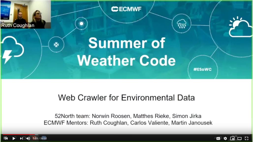
Webinar video “Web Crawler Hydrological Data” is online
52°North’s Norwin Roosen presented results of the ECMWF Summer of Weather Code project “Web Crawler for Environmental Data”.
ECMWF, the world’s leading center for global medium-range weather forecasts, launched an online program to develop innovative weather-related technologies – Summer of Weather Code. As part of his external semseter at 52°North, Norwin Roosen developed a web crawler to facilitate and automatize the web-based search for new environmental data sources. This development replaces a time-consuming manual search for new data sources. The resulting data can be used to improve global predictive weather forecasting models.
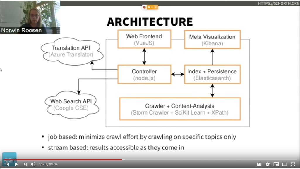
The webinar can be viewed here.
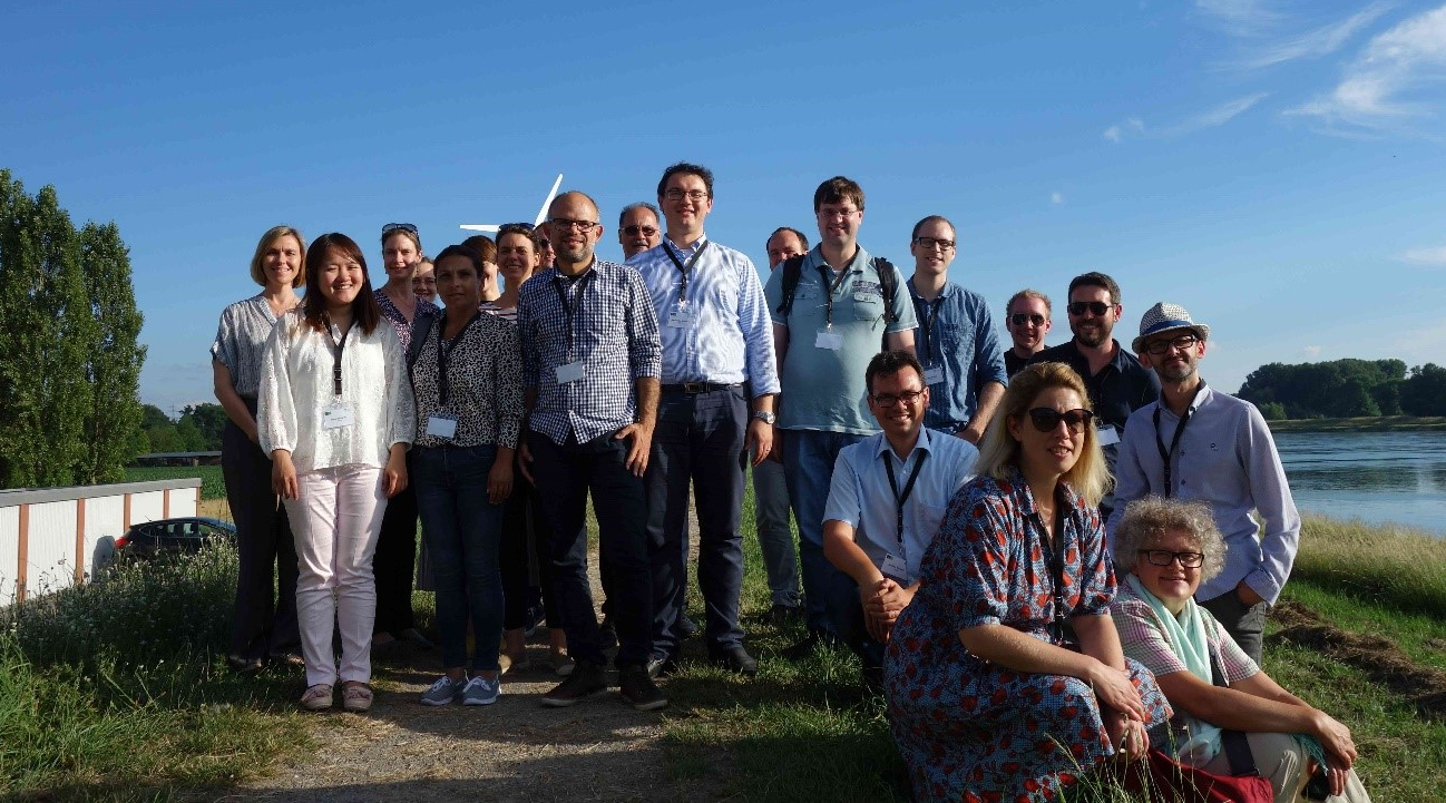
Project members met to define common goals and approaches
From the 18th to 20th of June, 23 participants from Romania, Poland, UK, Sweden, the US and Germany met at EIFER in Karlsruhe for the kick-off workshop of the project “Creating Interfaces – Building capacity for integrated governance at the Food-Water-Energy-nexus (FWE) in cities on the water”. In addition to intense work on the further definition of our common goals and approaches, the participants had the opportunity to visit the “Energieberg” Karlsruhe as well as the Rhine River and to enjoy the view of Karlsruhe and the surrounding area as far as France from the Karlsruher Turmberg.
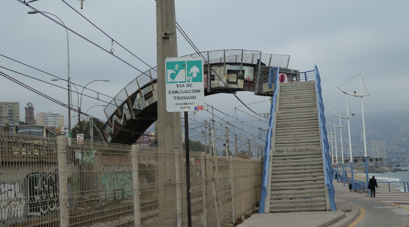
Discussing state of the art of research and information systems in Chile, Peru and Ecuador
52°North’s Christoph Stasch participated in a series of workshops for RIESGOS project members and local stakeholders in South America in April 2018. These workshops lay the groundwork for creating a Multi-Risk Information and Early Warning System for the Andes region. more >