From Sensing to Understanding our World
The 52°North Open Innovation Network announces a Call for Abstracts for the Geospatial Sensing Conference 2019.
The 52°North Open Innovation Network announces a Call for Abstracts for the Geospatial Sensing Conference 2019.
HAPPY HOLIDAYS to all 52°North software users, contributors, partners and customers! 52°North would like to thank you for the successful collaboration in 2018.
Instead of sending out christmas cards, we donate to a good cause. This year our donation supports emergency relief actions for those suffering from famine in Jemen.
The Aktion Deutschland Hilft is an alliance of 23 renowned German relief organizations. Since 2001, it has been helping people who have lost everything due to major catastrophes. 22 million people are currently in need of humanitarian help in Jemen. The alliance provides emergency aid in the form of food, water and medical supplies. We support their work with this year’s donation.
We look forward to exploring horizons with you in 2019.
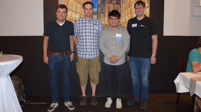
52°North is pleased to announce the winner of this year’s Student Innovation Challenge. Yao-Hsin Chiang received the first prize for his work on integrating an IoT Sensor Service and a 3D city model.
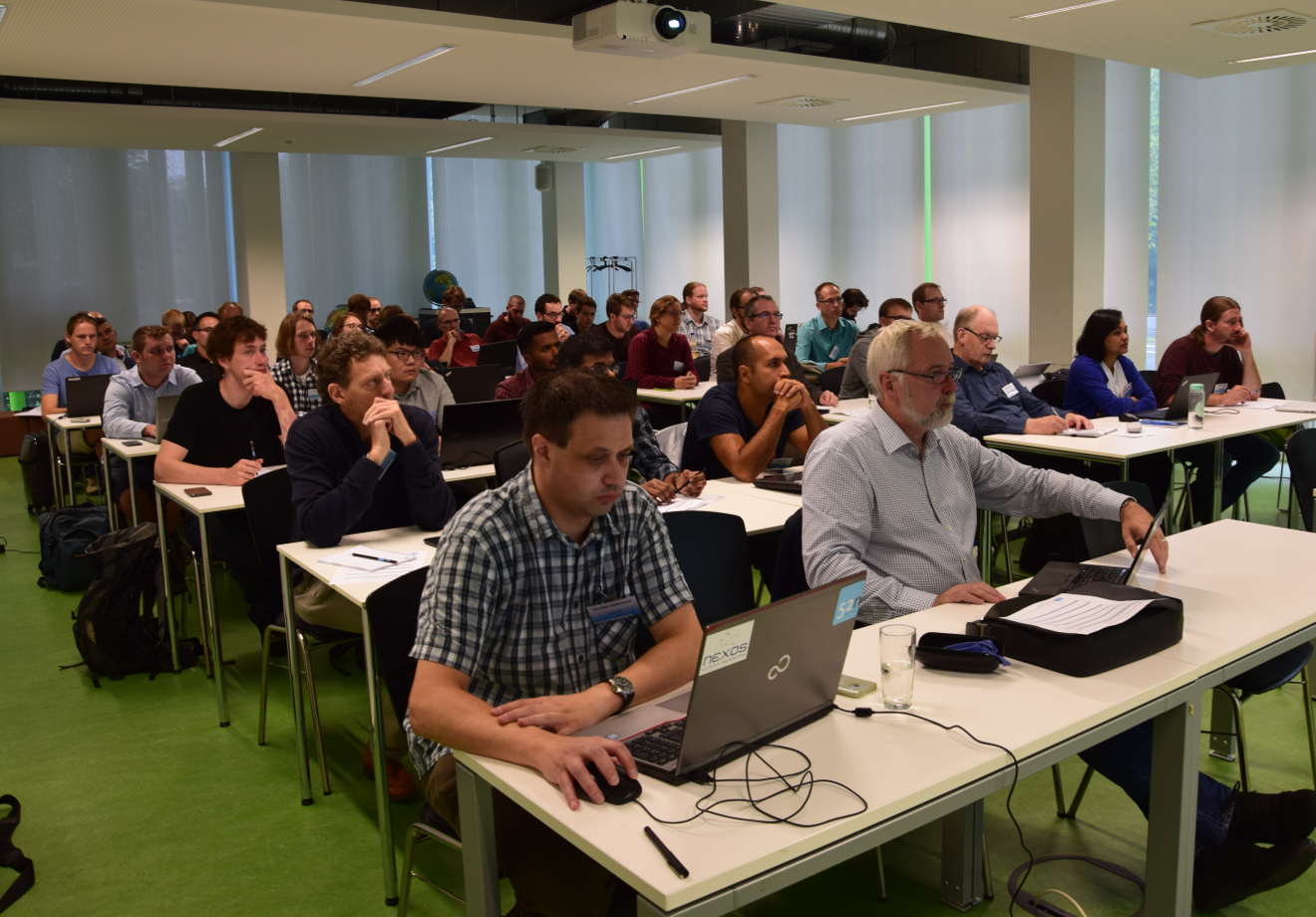
Geospatial Sensor Webs Conference notes focus on lightweight approaches for data delivery
The Geospatial Sensor Webs Conference 2018 welcomed Sensor Web researchers and practitioners to Münster. From September 3rd – 5th approximately 60 participants from research, industry and public administration exchanged ideas on practical applications, emerging trends, user requirements, and future developments.