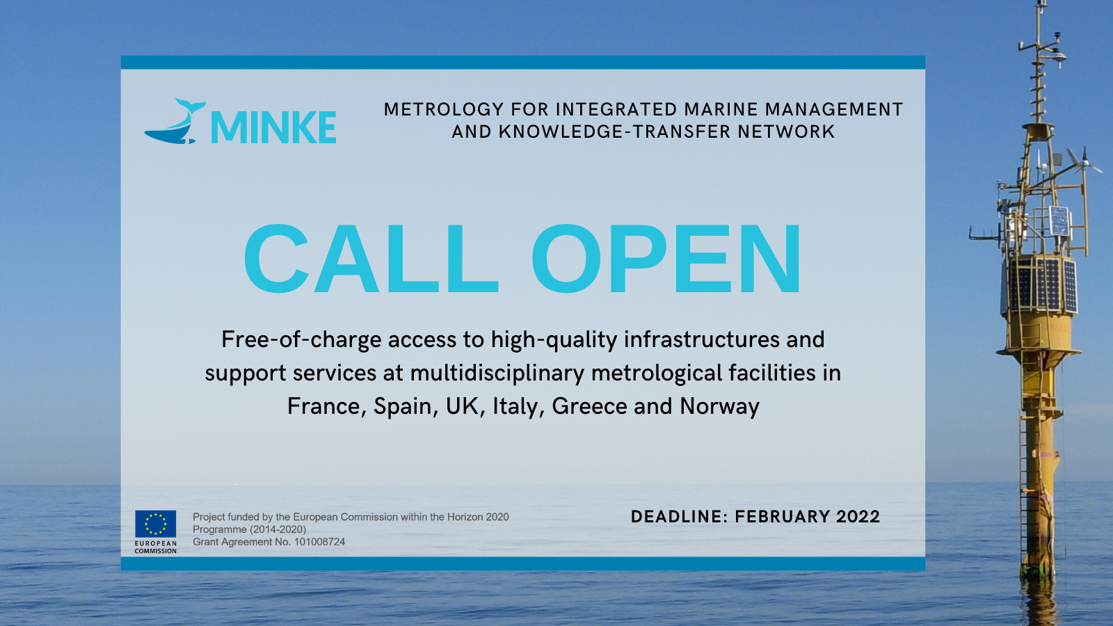
The MINKE Project offers free-of-charge access to calibration laboratories, marine observatories, ferry box lines and remote sensors in France, Spain, UK, Italy, Greece and Norway.
To get more information, visit: https://minke.eu/services/
The MINKE Project offers free-of-charge access to calibration laboratories, marine observatories, ferry box lines and remote sensors in France, Spain, UK, Italy, Greece and Norway.
To get more information, visit: https://minke.eu/services/
Compliments to the new management!
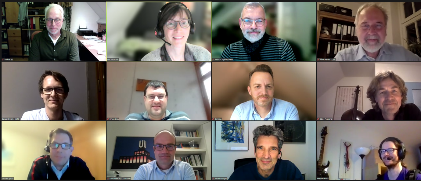
52°North’s Scientific and Technical Advisory Board recently met for its annual meeting. The board members were sheer impressed by what 52°North has accomplished in 2021. We successfully transitioned our management and the company’s focus, as well as increasing project activity in the fields Research Data Infrastructure, Spatial Data Science and SDI Research.
We thank our board for their great insights, point on critiques and helpful suggestions and strategies!

Every holiday season we donate to a good cause instead of sending out christmas cards. This year our donation supports the KIDS Kinderhilfe in Südafrika.

We have checked our Java based projects SOS, STA, Helgoland API, WPS, JavaPS for the current log4j security vulnerability “log4shell”.
As of the following versions, there is no use of the vulnerable log4j library:
SOS: Version 4.0 from 17-03-2014
STA: from the beginning
WPS: Version 4.0.0 beta2 from 29-03-2017
javaPS: Version 1.8.0 from 14-12-2021
In case you use our software and have any further questions, please contact us at . We have already informed the customers we know who use the software that might be at a risk.