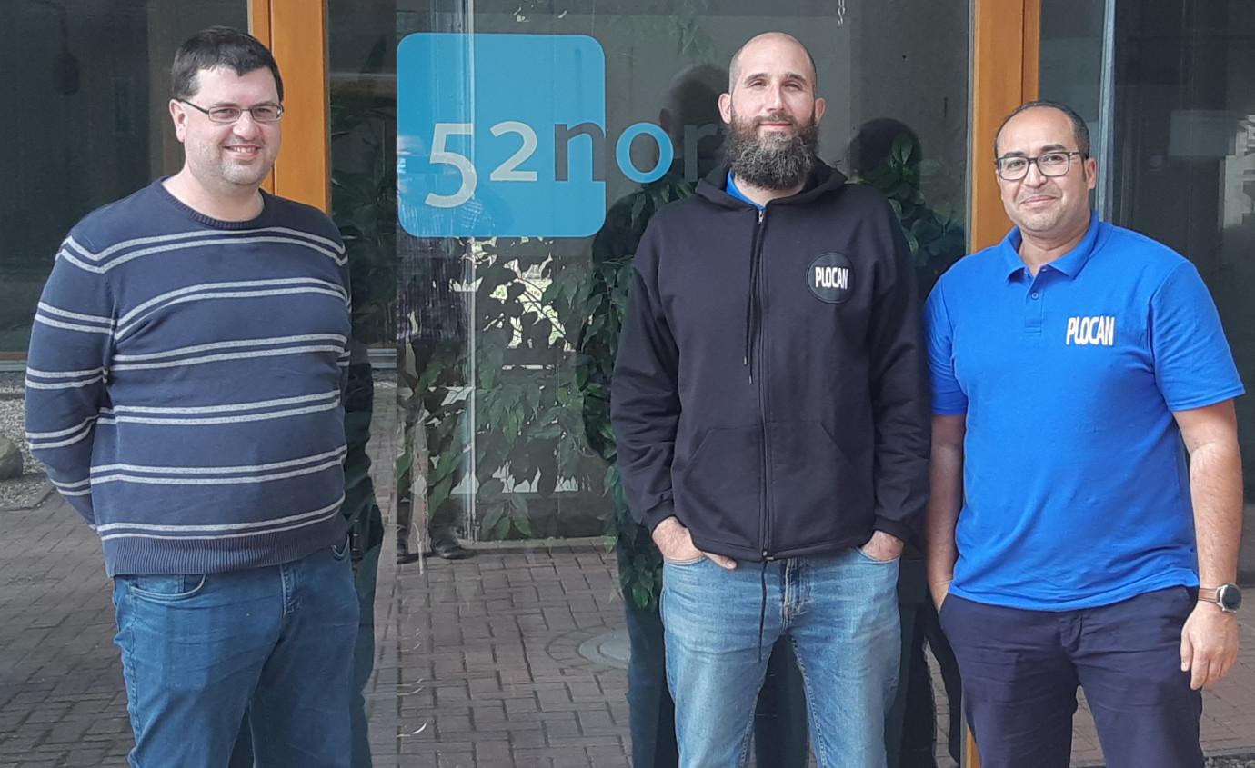
PLOCAN staff carry out hands-on experiments using Sensor Web technologies
We welcomed Rubén Marrero and Mustapha Maarouf from PLOCAN (Plataforma Oceánica de Canarias) to our 52°North offices last week. For three days, the two scientists immersed themselves in the ins and outs of sensor web technologies. After introductory sessions, they were able to use our implementations to carry out their own hands-on experiments. We also had time to discuss possibilities for future cooperation.
Many thanks for their visit – we already look forward to working together.
Their visit was made possible by Staff Mobility funding from the EU FORWARD project.
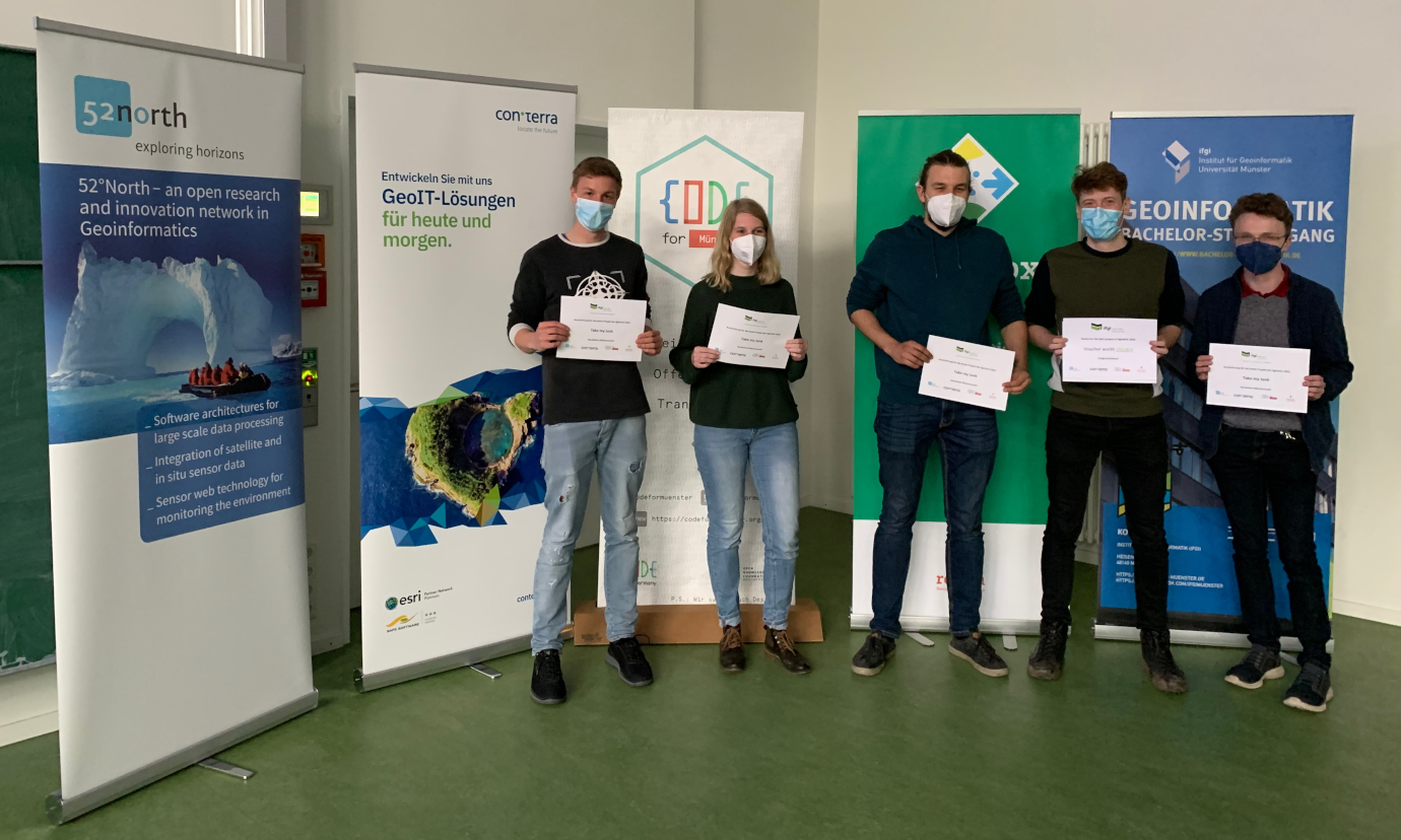


Successful hackathon for all ifgi students!