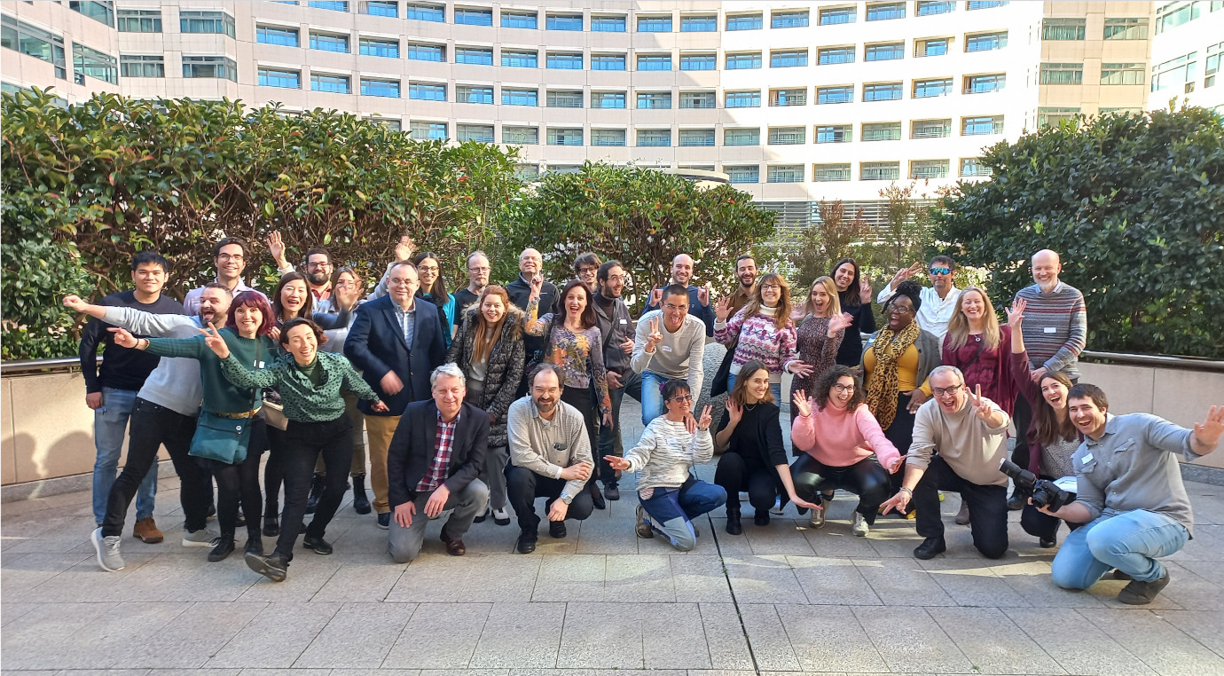
• Github
  • Wiki
  • News
  • Blog
  • Search

52°North Spatial Information Research GmbH

exploring horizons

  • 52°North Spatial Information Research GmbH

    exploring horizons

  • About us
    • Profile
    • Scientific & Technical Advisory Board
    • Shareholders
    • Affiliations
    • Contact us
  • Research
    • Scope
    • Associated Labs
    • Publications
  • Software
    • Software components
    • Licensing
    • Contribute
  • Services
  • Solutions
  • Outreach
  • Careers
Home > Archives forAnn Hitchcock

September 30, 2021

Copernicus-Relay Workshop

Copernicus-Relay Workshop

GeoIT Round Table NRW hosts Copernicus Relay workshop

The GeoIT Round Table NRW brings together administration, industry and science to advance the development of geoinformation availability and usability in North-Rhine-Westfalia. It is a think tank for elaborating and consulting strategies and concepts for action, as well as initiating and accompanying the development of best practices. The GeoIT Round Table is one of the German Copernicus Relays – a network of Copernicus ambassadors – acting as local champions, coordinating and promoting activities around the Copernicus Program, its benefits, and opportunities for local residents and businesses. The steering committee recently invited members to a Copernicus Relay workshop. 

more >

July 27, 2021

How is Cos4Cloud boosting citizen science technologies?

How is Cos4Cloud boosting citizen science technologies?

Don’t miss the Cos4Cloud video to find out what the project is about!

Cos4Cloud is a European Horizon 2020 project to boost citizen science technologies. How is the project going to achieve this goal? How can the citizen science community use the services Cos4Cloud is developing? And how can you be part of our community?

Find out here!

June 17, 2021

52°North impresses Münster’s mayor and business developer

52°North impresses Münster’s mayor and business developer

Saving the climate: Geoinformatics specialist from Münster as part of a “Global Solution”

It sounds simple, but the technical implementation is extremely complex: “The combination of vehicle, traffic and environmental data allows us to identify focal points contaminated with pollutants and safety-critical points in metropolitan areas. As a result, we can successfully optimize traffic flows.” This vivid research project was just one of numerous projects with which 52°North GmbH impressed the mayor of Münster, Markus Lewe, enormously. “Climate change cannot be resolved in Münster alone. But Münster can become part of a global solution thanks to the scientific expertise available here and its companies”, the mayor, accompanied by Enno Fuchs, the managing director of the Münster Economic Development Corporation, paid the geoinformatics scientists great respect.

German Press Release…more >

June 1, 2021

We are now 52°North Spatial Information Research GmbH

We are now 52°North Spatial Information Research GmbH

52°North redefines and strengthens its focus in a new company name

Münster, June 1, 2021 – 52°North is proud to announce a new company name: 52°North Spatial Information Research GmbH.

more >

  • « Previous Page
  • 1
  • …
  • 18
  • 19
  • 20
  • 21
  • 22
  • …
  • 43
  • Next Page »
  • News
  • Events
    • 52N Events
  • Careers
  • Contact Us
    • Legal Notice
  • Privacy Statement

Shareholders

  • con terra
  • esri inc
  • ifgiInstitute for Geoinformatics logo
  • itc
  • RSS
  • You Tube
  • Blueskybluesky logo
  • Fosstodon
  • LinkedIn

©2025 by 52°North Spatial Information Research GmbH. All Rights Reserved.