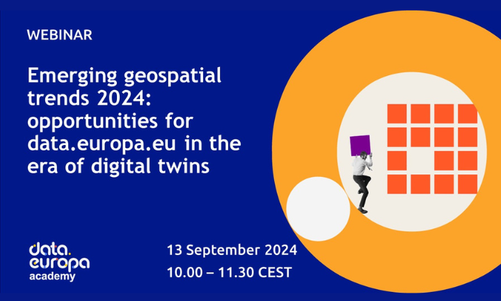
• Github
  • Wiki
  • News
  • Blog
  • Search

52°North Spatial Information Research GmbH

exploring horizons

  • 52°North Spatial Information Research GmbH

    exploring horizons

  • About us
    • Profile
    • Scientific & Technical Advisory Board
    • Shareholders
    • Affiliations
    • Contact us
  • Research
    • Scope
    • Associated Labs
    • Publications
  • Software
    • Software components
    • Licensing
    • Contribute
  • Services
  • Solutions
  • Outreach
  • Careers
Home > Archives forAnn Hitchcock

September 14, 2023

MariData Project Meeting in Münster

MariData Project Meeting in Münster

52°North hosts successful project meeting

The MariData consortium met at the end of August for a two-day project meeting to provide a status update and plan next steps. During the first half of the meeting, partners presented and discussed work ranging from front-end development, geoplatform and routing to ship-related work. The second half of the meeting focused on the analysis and modeling tasks. The discussions were very productive and we at 52°North are looking forward to continuing our work together.

September 4, 2023

Trends in Geospatial Data

Trends in Geospatial Data

Webinar: GeoAI – Geospatial Artificial Intelligence

data.europa.eu – the official portal for European data – hosts a series of webinars to promote data literacy in open data. 52°North works together with con terra to support data.europa.eu in this endeavor, addressing issues of geoharvesting, a gazetteer and visualizing geospatial and real-time data.

As part of the data.europa academy series, this year’s webinar will focus on GeoAI – Geospatial Artificial Intelligence. After an introduction to GeoAI, participants are invited to discuss the relevance of GeoAI for data.europa.eu. Discussions will address the following questions:

  • What opportunities arise for data.europa.eu from this trend?
  • How can data.europa.eu benefit from the use of GeoAI?
  • How could data.europa.eu support the use of GeoAI?

The webinar takes place on September 8, 2023 at 10:00 am.

Please join us and exchange views on current trends in the field of geospatial data.

Register now

July 11, 2023

EDIS als Finalist im eGovernment Wettbewerb

EDIS als Finalist im eGovernment Wettbewerb

EDIS – EchtzeitDatenInfrastruktur für PEGELONLINE – Projekt bewirbt sich um den Publikumspreis 2023

Auch in diesem Jahr findet der eGovernment-Wettbewerb statt. In fünf Kategorien werden Projekte und Behörden ausgezeichnet. Das Informations Technik Zentrum Bund (ITZBund) sowie die Wasserstraßen- und Schifffahrtsverwaltung des Bundes (WSV) haben ihr gemeinsam mit 52°North entwickeltes Projekt (“EDIS – EchtzeitdatenInfraStruktur für PEGELONLINE”) für die Kategorie “Nachhaltigkeit durch Digitalisierung” eingereicht. Nun ist das Projekt Finalist für den Publikumspreis 2023

Vom 06. Juli bis 12. September 2023 wählt das Publikum aus allen Finalisten seinen Favoriten. Informationen zum Projekt sowie die Möglichkeit zur Stimmabgabe finden Sie online.


July 6, 2023

Decision Support System Component Tests for MariData Project

Decision Support System Component Tests for MariData Project

The ship simulator of the Flensburg University of Applied Sciences consists of an imitation of a ship’s bridge with corresponding control panels and screens for monitoring ship parameters and displaying cartographic material. A video projected on a curved screen surrounding the bridge gives the “ship’s crew” the feeling that they are sailing on the English Channel or any other chosen route. Different weather conditions can be selected for this projection, and although the bridge itself does not move, the video of waves hitting the ship from the sides makes the passengers sway in the desire to compensate for real waves.

more >

  • « Previous Page
  • 1
  • …
  • 11
  • 12
  • 13
  • 14
  • 15
  • …
  • 46
  • Next Page »
  • News
  • Events
    • 52N Events
  • Careers
  • Contact Us
    • Legal Notice
  • Privacy Statement

Shareholders

  • con terra
  • esri inc
  • ifgiInstitute for Geoinformatics logo
  • itc
  • RSS
  • You Tube
  • Blueskybluesky logo
  • Fosstodon
  • LinkedIn

©2025 by 52°North Spatial Information Research GmbH. All Rights Reserved.