A better understanding of georisks
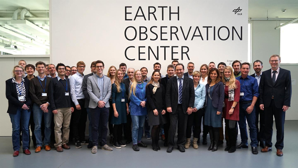
The RIESGOS internationl cooperation project held its kickoff at the DLR German Remote Sensing Data Center in Oberpfaffenhofen last week. The aim of the project is to better understand and be able to predict interdependencies during major emergencies. 52°North helps to develop a prototype of a multi-risk information system for the Andean region in Chile, Ecuador and Peru.