Near Real-Time Data for Improved Recovery from Flooding and Disasters
Ensuring the continuous provision of open satellite and weather data from flood warning and monitoring systems, as well as precipitation radar data
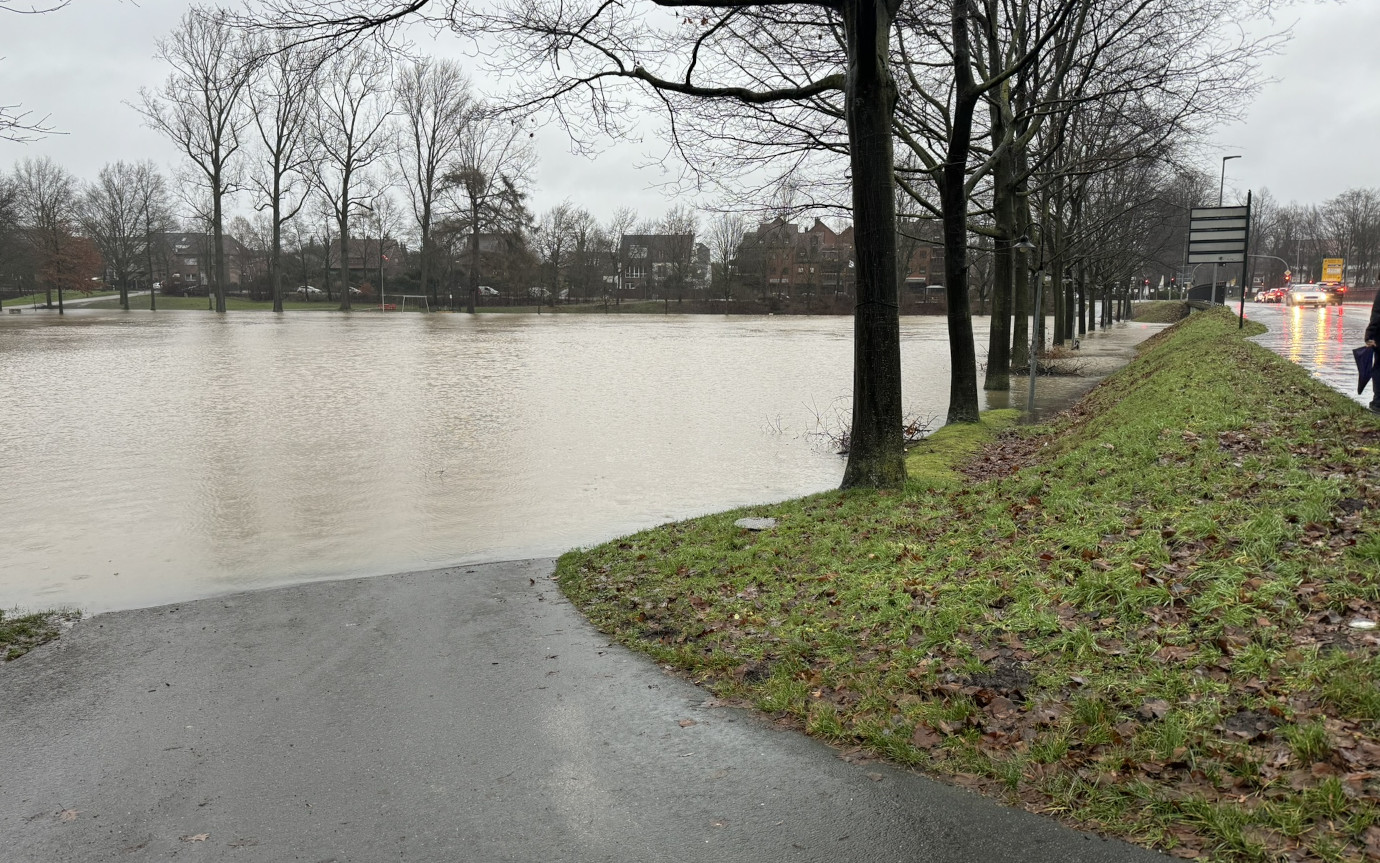
Following the devastating flash flooding in the Ahr valley in July 2021, the the importance of seamless access to near real-time information for event recovery was recognized. Consequently, a platform has been commissioned to process any Earth Observation data for the short-term integration of real-time data from ongoing floods and disasters. The goal was to ensure the continuous provision of open data satellite and weather data from flood warning systems (i.e, GloFAS) and flood monitoring systems (GFM, EMSR), as well as precipitation radar data from the German Weather Service (RADOLAN). The resulting information product contains the classified data sources as well as the raw data used and is made available in near real-time in WebGIS for further analyses.
52°North calculated statistics on the aforementioned raster time series products and estimated pixel-by-pixel extreme value distributions. Based on the distributions, we derived thresholds according to a given return period per data source. We also jointly developed the architecture and workflow concept based on Argo. The platform pattern implements data stream enrichment with extensive processing on a highly scalable Kubernetes platform. Through the use of automated Argo workflows, it produces a daily information product derived from flood monitoring, forecasts, and identified areas of concern, all accessible via an API for subsequent processing. The co-created data is provides end users with decision-ready information.

Customer
con terra GmbH, Germany