Developing the Geospatial Semantic Web and enabling Linked Spatiotemporal Data
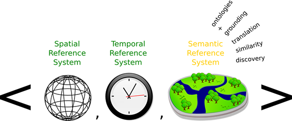
Our mission is to investigate the need for semantics and geo-ontologies in 52°North, as well as to provide a Semantic Enablement Layer (SEL) and Linked Data infrastructure for the services developed by other 52°North communities. Simply speaking, the 52°North semantics community contributes research and software towards the Geospatial Semantic Web and Linked Spatiotemporal Data.
In terms of Semantic Enablement, we work on transparent solutions to connect the Geo Web and especially the Sensor Web with the Semantic Web and the Linked Data cloud. We develop OGC conform Web services that transparently encapsulate Semantic Web reasoners and ontology repositories. We also work on the reverse direction and, e.g., make observation data provided via a Sensor Observation Service available to Linked Data.
The long-term vision is to combine the top-down view of ontological research with a data (and therefore sensor) driven bottom-up approach to support complex queries. This includes the development of an observation-driven ontology engineering methodology. For instance, instead of searching sensors, deciding about temporal and spatial resolution, location, and further settings to track a particular phenomenon by hand, it should be possible to select the phenomenon (such as the spread of diseases) from an ontology and let the reasoner discover, select, and configure the necessary sensors semi-automatically.